Senhor do Bonfim night lights from space
Night Light of Senhor do Bonfim (Bahia) from space (Brazil) Src. Average luminocity for 10x10km area is 28.7335% and for 50x50km: 2.9124%.
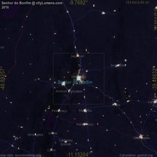
Analysis of Senhor do Bonfim night lights 2016
Square area 10x10 km:
 6.4%
6.4%90-99
5.17%80-89
1.24%70-79
1.45%60-69
4.75%50-59
4.13%40-49
4.75%30-39
1.65%20-29
3.1%10-19
35.74%0-9
31.61%Square area 50x50 km:
0.38%90-99
0.43%80-89
0.25%70-79
0.12%60-69
0.48%50-59
0.33%40-49
0.53%30-39
0.57%20-29
0.46%10-19
1.79%0-9
94.65%Clear (daylight) street map image can be seen on geolist.org.
Map coordinates:
9° 46' 9.1" South, 40° 53' 33.3" West
10° 27' 41" South, 40° 11' 22" West
11° 9' 7.3" South, 39° 29' 10.8" West
Some cities around Senhor do Bonfim sort by population:
• Jacobina
87.5 km =54.4 mi,  203°
203°
• Campo Formoso
15.3 km =9.5 mi,  250°
250°
• Jaguarari
22 km =13.7 mi,  358°
358°
• Pindobaçu
36.4 km =22.6 mi,  211°
211°
• Uauá
103.7 km =64.4 mi,  48°
48°
• Queimadas
84.2 km =52.3 mi,  133°
133°
• Monte Santo
93.7 km =58.2 mi,  88°
88°
• Ponto Novo
45 km =28 mi,  172°
172°
3447839 (p: 48,471)
Sources (retrieved 2019-11-25):
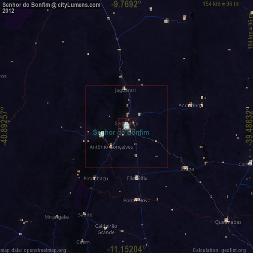
» Earth at Night: Flat Maps 2012, 2016