Campo Formoso night lights from space
Night Light of Campo Formoso (Bahia) from space (Brazil) Src. Average luminocity for 10x10km area is 11.7624% and for 50x50km: 2.8699%.
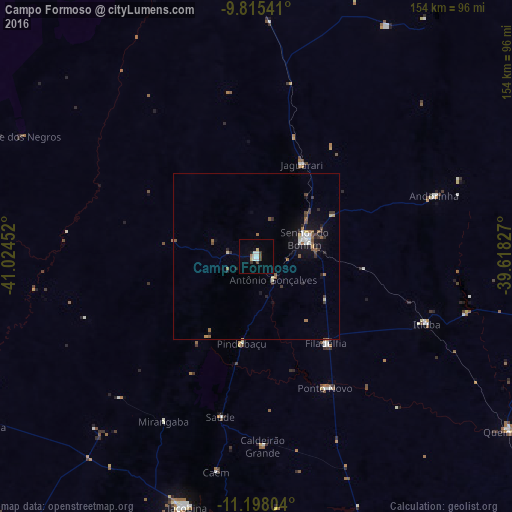
Analysis of Campo Formoso night lights 2016
Square area 10x10 km:
 2.48%
2.48%90-99
2.48%80-89
1.65%70-79
0.21%60-69
0.62%50-59
0%40-49
2.48%30-39
1.65%20-29
0.41%10-19
1.24%0-9
86.78%Square area 50x50 km:
0.36%90-99
0.35%80-89
0.27%70-79
0.13%60-69
0.48%50-59
0.44%40-49
0.46%30-39
0.53%20-29
0.45%10-19
1.78%0-9
94.74%Clear (daylight) street map image can be seen on geolist.org.
Map coordinates:
9° 48' 55.5" South, 41° 1' 28.3" West
10° 30' 27" South, 40° 19' 17" West
11° 11' 52.9" South, 39° 37' 5.8" West
Some cities around Campo Formoso sort by population:
• Senhor do Bonfim
15.3 km =9.5 mi,  70°
70°
• Jacobina
77.8 km =48.3 mi,  195°
195°
• Jaguarari
30.4 km =18.9 mi,  26°
26°
• Capim Grosso
102.8 km =63.9 mi,  160°
160°
• Pindobaçu
26.4 km =16.4 mi,  189°
189°
• Miguel Calmon
106.7 km =66.3 mi, 196°
• Queimadas
92.2 km =57.3 mi,  124°
124°
• Ponto Novo
44.5 km =27.7 mi,  152°
152°
3467760 (p: 23,920)
Sources (retrieved 2019-11-25):
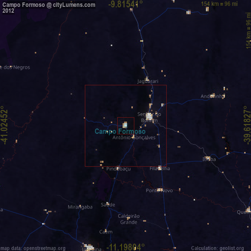
» Earth at Night: Flat Maps 2012, 2016