Jacobina night lights from space
Night Light of Jacobina (Bahia) from space (Brazil) Src. Average luminocity for 10x10km area is 27.29% and for 50x50km: 1.9472%.
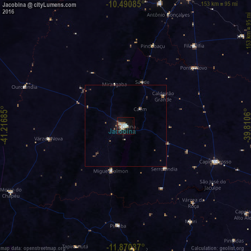
Analysis of Jacobina night lights 2016
Square area 10x10 km:
 5.84%
5.84%90-99
5.84%80-89
3.25%70-79
0.65%60-69
5.63%50-59
1.95%40-49
1.3%30-39
2.38%20-29
2.16%10-19
27.49%0-9
43.51%Square area 50x50 km:
0.25%90-99
0.32%80-89
0.18%70-79
0.08%60-69
0.36%50-59
0.28%40-49
0.25%30-39
0.34%20-29
0.2%10-19
1.48%0-9
96.27%Clear (daylight) street map image can be seen on geolist.org.
Map coordinates:
10° 29' 27.1" South, 41° 13' 0.7" West
11° 10' 53.1" South, 40° 30' 49.4" West
11° 52' 13.3" South, 39° 48' 38.2" West
Some cities around Jacobina sort by population:
• Campo Formoso
77.8 km =48.3 mi,  15°
15°
• Capim Grosso
59 km =36.7 mi,  112°
112°
• Pindobaçu
51.7 km =32.1 mi, 18°
• Piritiba
61.2 km =38 mi,  184°
184°
• Miguel Calmon
28.9 km =18 mi,  197°
197°
• Mairi
71.1 km =44.2 mi,  145°
145°
• Mundo Novo
75.5 km =46.9 mi, 176°
• Ponto Novo
54.6 km =33.9 mi,  49°
49°
3460344 (p: 47,637)
Sources (retrieved 2019-11-25):
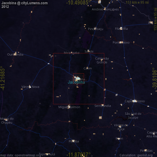
» Earth at Night: Flat Maps 2012, 2016