Monte Santo night lights from space
Night Light of Monte Santo (Bahia) from space (Brazil) Src. Average luminocity for 10x10km area is 5.6426% and for 50x50km: 1.0689%.
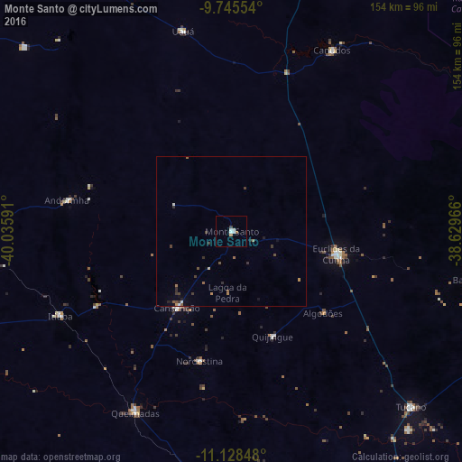
Analysis of Monte Santo night lights 2016
Square area 10x10 km:
 0.83%
0.83%90-99
2.48%80-89
0%70-79
0%60-69
1.65%50-59
0%40-49
0.62%30-39
0.21%20-29
0%10-19
0%0-9
94.21%Square area 50x50 km:
0.05%90-99
0.19%80-89
0.03%70-79
0.06%60-69
0.24%50-59
0.2%40-49
0.22%30-39
0.32%20-29
0.18%10-19
0.24%0-9
98.27%Clear (daylight) street map image can be seen on geolist.org.
Map coordinates:
9° 44' 43.9" South, 40° 2' 9.3" West
10° 26' 16" South, 39° 19' 58" West
11° 7' 42.5" South, 38° 37' 46.8" West
Some cities around Monte Santo sort by population:
• Senhor do Bonfim
93.7 km =58.2 mi,  268°
268°
• Tucano
82.8 km =51.4 mi,  134°
134°
• Euclides da Cunha
35.5 km =22.1 mi,  102°
102°
• Ribeira do Pombal
97.6 km =60.6 mi,  116°
116°
• Santaluz
91.1 km =56.6 mi,  182°
182°
• Jaguarari
96.4 km =59.9 mi,  281°
281°
• Uauá
68.3 km =42.4 mi,  346°
346°
• Queimadas
68.1 km =42.3 mi,  208°
208°
3456820 (p: 7,398)
Sources (retrieved 2019-11-25):
» Earth at Night: Flat Maps 2012, 2016