Uauá night lights from space
Night Light of Uauá (Bahia) from space (Brazil) Src. Average luminocity for 10x10km area is 6.4545% and for 50x50km: 0.3155%.
Analysis of Uauá night lights 2016
Square area 10x10 km:
 0.87%
0.87%90-99
2.16%80-89
0.43%70-79
0.87%60-69
0.87%50-59
0%40-49
0%30-39
1.3%20-29
2.16%10-19
0%0-9
91.34%Square area 50x50 km:
0.03%90-99
0.08%80-89
0.02%70-79
0.03%60-69
0.07%50-59
0%40-49
0%30-39
0.12%20-29
0.12%10-19
0.03%0-9
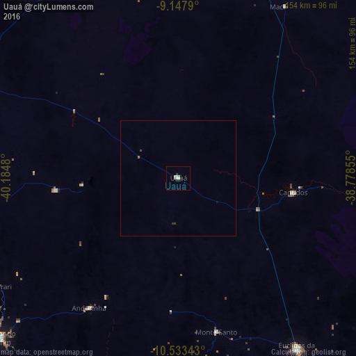
99.5%Clear (daylight) street map image can be seen on geolist.org.
Map coordinates:
9° 8' 52.4" South, 40° 11' 5.3" West
9° 50' 29" South, 39° 28' 54" West
10° 32' 0.3" South, 38° 46' 42.8" West
Some cities around Uauá sort by population:
• Senhor do Bonfim
103.7 km =64.4 mi,  228°
228°
• Euclides da Cunha
89.9 km =55.9 mi,  145°
145°
• Campo Formoso
118 km =73.3 mi, 231°
• Jaguarari
91.2 km =56.7 mi,  239°
239°
• Jeremoabo
112.6 km =70 mi,  103°
103°
• Santa Maria da Boa Vista
121 km =75.2 mi,  341°
341°
• Curaçá
105.6 km =65.6 mi,  333°
333°
• Monte Santo
68.3 km =42.4 mi,  166°
166°
3385883 (p: 11,425)
Sources (retrieved 2019-11-25):
» Earth at Night: Flat Maps 2012, 2016