Queimadas night lights from space
Night Light of Queimadas (Bahia) from space (Brazil) Src. Average luminocity for 10x10km area is 12.1558% and for 50x50km: 1.0385%.
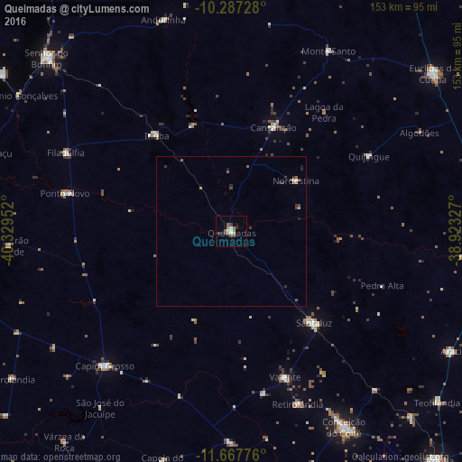
Analysis of Queimadas night lights 2016
Square area 10x10 km:
 1.73%
1.73%90-99
1.73%80-89
0.43%70-79
0.43%60-69
3.46%50-59
1.95%40-49
3.25%30-39
1.52%20-29
1.08%10-19
1.73%0-9
82.68%Square area 50x50 km:
0.1%90-99
0.1%80-89
0.05%70-79
0.05%60-69
0.24%50-59
0.23%40-49
0.28%30-39
0.25%20-29
0.23%10-19
0.14%0-9
98.33%Clear (daylight) street map image can be seen on geolist.org.
Map coordinates:
10° 17' 14.2" South, 40° 19' 46.3" West
10° 58' 42" South, 39° 37' 35" West
11° 40' 3.9" South, 38° 55' 23.8" West
Some cities around Queimadas sort by population:
• Senhor do Bonfim
84.2 km =52.3 mi,  313°
313°
• Conceição do Coité
75.1 km =46.7 mi,  150°
150°
• Santaluz
41.3 km =25.7 mi,  138°
138°
• Capim Grosso
61.5 km =38.2 mi,  223°
223°
• Araci
82.1 km =51 mi,  118°
118°
• Valente
51.5 km =32 mi,  159°
159°
• Monte Santo
68.1 km =42.3 mi,  28°
28°
• Ponto Novo
56.8 km =35.3 mi,  283°
283°
3452085 (p: 10,439)
Sources (retrieved 2019-11-25):
» Earth at Night: Flat Maps 2012, 2016