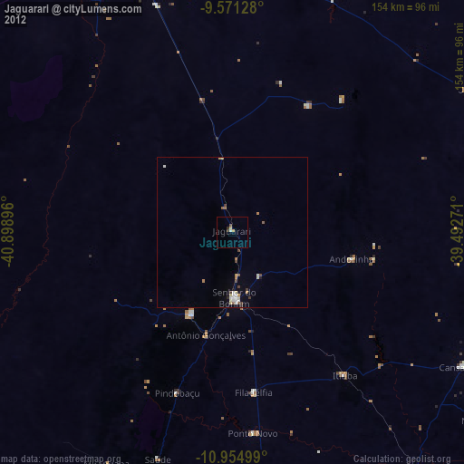
Jaguarari night lights from space
Night Light of Jaguarari (Bahia) from space (Brazil) Src. Average luminocity for 10x10km area is 5.2438% and for 50x50km: 1.9801%.
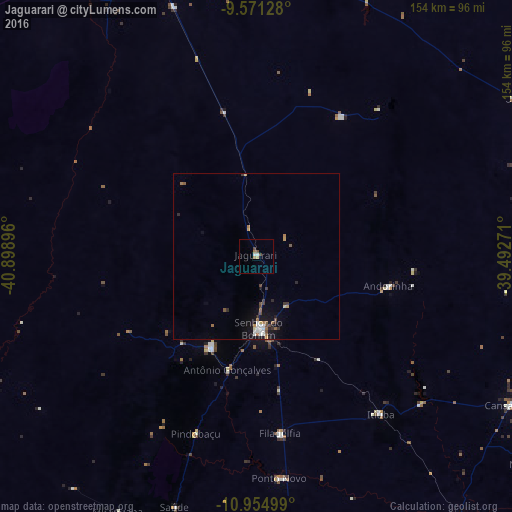
Analysis of Jaguarari night lights 2016
Square area 10x10 km:
 0.41%
0.41%90-99
1.24%80-89
0%70-79
0.41%60-69
2.07%50-59
0%40-49
2.27%30-39
0.21%20-29
0%10-19
0%0-9
93.39%Square area 50x50 km:
0.28%90-99
0.26%80-89
0.1%70-79
0.19%60-69
0.4%50-59
0.25%40-49
0.35%30-39
0.31%20-29
0.27%10-19
1.36%0-9
96.24%Clear (daylight) street map image can be seen on geolist.org.
Map coordinates:
9° 34' 16.6" South, 40° 53' 56.3" West
10° 15' 50" South, 40° 11' 45" West
10° 57' 18" South, 39° 29' 33.8" West
Some cities around Jaguarari sort by population:
• Petrolina
101.8 km =63.3 mi,  340°
340°
• Senhor do Bonfim
22 km =13.7 mi,  178°
178°
• Campo Formoso
30.4 km =18.9 mi,  206°
206°
• Pindobaçu
56.1 km =34.9 mi,  198°
198°
• Uauá
91.2 km =56.7 mi,  59°
59°
• Queimadas
100.9 km =62.7 mi,  141°
141°
• Monte Santo
96.4 km =59.9 mi,  101°
101°
• Ponto Novo
66.9 km =41.6 mi,  174°
174°
3460225 (p: 22,612)
Sources (retrieved 2019-11-25):
» Earth at Night: Flat Maps 2012, 2016