Castelo do Piauí night lights from space
Night Light of Castelo do Piauí (Piauí) from space (Brazil) Src. Average luminocity for 10x10km area is 6.9029% and for 50x50km: 0.4173%.
Analysis of Castelo do Piauí night lights 2016
Square area 10x10 km:
 0%
0%90-99
0.83%80-89
2.48%70-79
1.65%60-69
0.83%50-59
2.07%40-49
0.41%30-39
0%20-29
0%10-19
0%0-9
91.74%Square area 50x50 km:
0.01%90-99
0.04%80-89
0.11%70-79
0.08%60-69
0.03%50-59
0.15%40-49
0.07%30-39
0%20-29
0.03%10-19
0%0-9
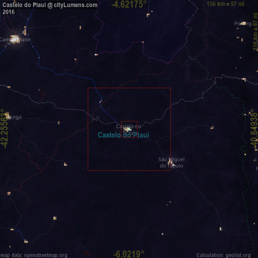
99.47%Clear (daylight) street map image can be seen on geolist.org.
Map coordinates:
4° 37' 18.3" South, 42° 15' 20.3" West
5° 19' 20" South, 41° 33' 9" West
6° 1' 18.8" South, 40° 50' 57.8" West
Some cities around Castelo do Piauí sort by population:
• Crateús
98.2 km =61 mi,  80°
80°
• Campo Maior
87.6 km =54.4 mi,  308°
308°
• Altos
105.3 km =65.4 mi,  287°
287°
• Pedro II
100.3 km =62.3 mi,  5°
5°
• Novo Oriente
89.3 km =55.5 mi,  105°
105°
• Elesbão Veloso
117.5 km =73 mi,  213°
213°
• São Miguel do Tapuio
32.4 km =20.1 mi,  128°
128°
• Beneditinos
91.2 km =56.7 mi,  261°
261°
3402548 (p: 8,589)
Sources (retrieved 2019-11-25):
» Earth at Night: Flat Maps 2012, 2016