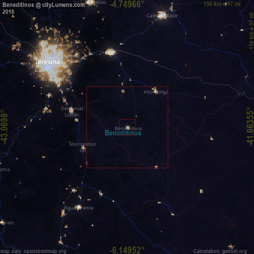
Beneditinos night lights from space
Night Light of Beneditinos (Piauí) from space (Brazil) Src. Average luminocity for 10x10km area is 2.1818% and for 50x50km: 0.5381%.
Analysis of Beneditinos night lights 2016
Square area 10x10 km:
 0%
0%90-99
0%80-89
0%70-79
0.21%60-69
2.07%50-59
1.03%40-49
0%30-39
0%20-29
0%10-19
0%0-9
96.69%Square area 50x50 km:
0%90-99
0.03%80-89
0.03%70-79
0.09%60-69
0.17%50-59
0.16%40-49
0.19%30-39
0.12%20-29
0.05%10-19
0.03%0-9
99.11%Clear (daylight) street map image can be seen on geolist.org.
Map coordinates:
4° 44' 58.8" South, 43° 4' 11.3" West
5° 27' 0" South, 42° 22' 0" West
6° 8' 58.3" South, 41° 39' 48.8" West
Some cities around Beneditinos sort by population:
• Teresina
62.7 km =39 mi,  309°
309°
• Timon
65.4 km =40.6 mi, 307°
• Campo Maior
72.6 km =45.1 mi,  17°
17°
• Altos
47 km =29.2 mi,  347°
347°
• José de Freitas
80.5 km =50 mi,  343°
343°
• Demerval Lobão
35.8 km =22.2 mi,  286°
286°
• Água Branca
57.5 km =35.7 mi,  211°
211°
• São Pedro do Piauí
66 km =41 mi,  216°
216°
3405796 (p: 5,005)
Sources (retrieved 2019-11-25):
» Earth at Night: Flat Maps 2012, 2016