Itapirapuã night lights from space
Night Light of Itapirapuã (Goiás) from space (Brazil) Src. Average luminocity for 10x10km area is 4.5974% and for 50x50km: 0.373%.
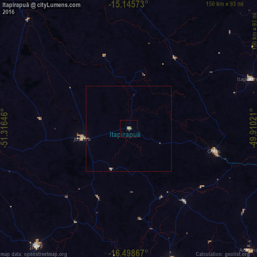
Analysis of Itapirapuã night lights 2016
Square area 10x10 km:
 0%
0%90-99
0%80-89
0.22%70-79
4.11%60-69
0%50-59
0.43%40-49
0.43%30-39
0%20-29
0.87%10-19
0.22%0-9
93.72%Square area 50x50 km:
0%90-99
0.03%80-89
0.01%70-79
0.2%60-69
0.02%50-59
0.05%40-49
0.1%30-39
0.02%20-29
0.06%10-19
0.05%0-9
99.47%Clear (daylight) street map image can be seen on geolist.org.
Map coordinates:
15° 8' 44.6" South, 51° 18' 59.3" West
15° 49' 24" South, 50° 36' 48" West
16° 29' 55.2" South, 49° 54' 36.8" West
Some cities around Itapirapuã sort by population:
• Iporá
87.4 km =54.3 mi,  218°
218°
• São Luís de Montes Belos
82.2 km =51.1 mi,  161°
161°
• Itaberaí
88.6 km =55.1 mi,  104°
104°
• Itapuranga
76.8 km =47.7 mi,  67°
67°
• Goiás
52.1 km =32.4 mi, 103°
• Anicuns
99.4 km =61.8 mi,  135°
135°
• Uruana
105.8 km =65.7 mi, 70°
• Firminópolis
90.5 km =56.2 mi, 158°
3460697 (p: 7,923)
Sources (retrieved 2019-11-25):
» Earth at Night: Flat Maps 2012, 2016