Iporá night lights from space
Night Light of Iporá (Goiás) from space (Brazil) Src. Average luminocity for 10x10km area is 20.2335% and for 50x50km: 1.0997%.
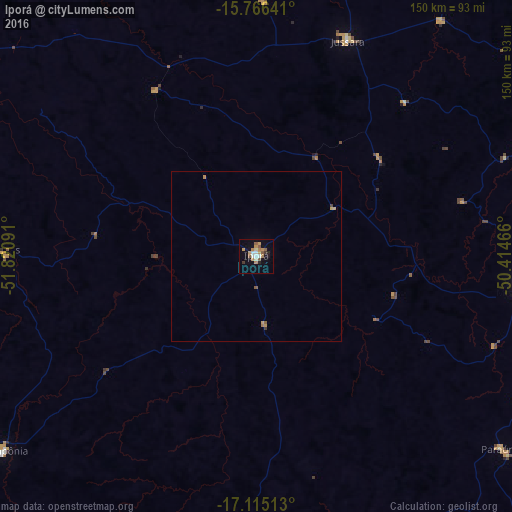
Analysis of Iporá night lights 2016
Square area 10x10 km:
 1.03%
1.03%90-99
3.93%80-89
0.83%70-79
6.4%60-69
2.89%50-59
4.75%40-49
0%30-39
1.65%20-29
1.65%10-19
8.26%0-9
68.6%Square area 50x50 km:
0.04%90-99
0.16%80-89
0.05%70-79
0.41%60-69
0.15%50-59
0.26%40-49
0.02%30-39
0.11%20-29
0.07%10-19
0.33%0-9
98.41%Clear (daylight) street map image can be seen on geolist.org.
Map coordinates:
15° 45' 59.1" South, 51° 49' 15.3" West
16° 26' 31" South, 51° 7' 4" West
17° 6' 54.5" South, 50° 24' 52.8" West
Some cities around Iporá sort by population:
• São Luís de Montes Belos
80 km =49.7 mi,  96°
96°
• Goiás
118.7 km =73.8 mi,  61°
61°
• Anicuns
123.3 km =76.6 mi,  90°
90°
• Caiapônia
93.4 km =58 mi,  232°
232°
• Piranhas
75.1 km =46.7 mi,  271°
271°
• Paraúna
90.8 km =56.4 mi,  128°
128°
• Firminópolis
88 km =54.7 mi, 100°
• Itapirapuã
87.4 km =54.3 mi,  38°
38°
3461090 (p: 28,254)
Sources (retrieved 2019-11-25):
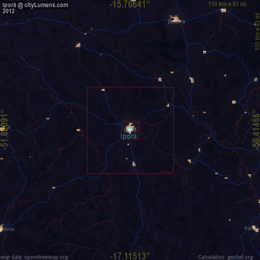
» Earth at Night: Flat Maps 2012, 2016