Santo Antônio do Amparo night lights from space
Night Light of Santo Antônio do Amparo (Minas Gerais) from space (Brazil) Src. Average luminocity for 10x10km area is 7% and for 50x50km: 1.6415%.
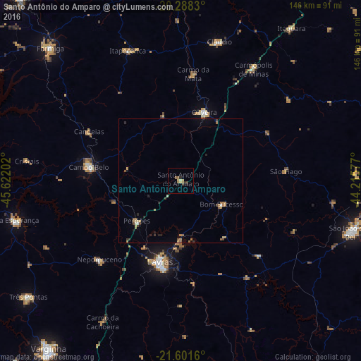
Analysis of Santo Antônio do Amparo night lights 2016
Square area 10x10 km:
 0%
0%90-99
0%80-89
1.59%70-79
1.59%60-69
2.98%50-59
0.2%40-49
1.19%30-39
0.99%20-29
1.79%10-19
0.2%0-9
89.48%Square area 50x50 km:
0.05%90-99
0.04%80-89
0.24%70-79
0.25%60-69
0.59%50-59
0.18%40-49
0.23%30-39
0.2%20-29
0.39%10-19
0.2%0-9
97.62%Clear (daylight) street map image can be seen on geolist.org.
Map coordinates:
20° 17' 17.9" South, 45° 37' 19.3" West
20° 56' 47" South, 44° 55' 8" West
21° 36' 5.8" South, 44° 12' 56.8" West
Some cities around Santo Antônio do Amparo sort by population:
• Lavras
34.3 km =21.3 mi,  194°
194°
• Campo Belo
37.6 km =23.4 mi,  278°
278°
• Oliveira
29.4 km =18.3 mi,  18°
18°
• Cláudio
58.2 km =36.2 mi, 15°
• Nepomuceno
45.8 km =28.5 mi,  225°
225°
• Perdões
24.1 km =15 mi, 228°
• Itapecerica
56.9 km =35.4 mi,  337°
337°
• Bom Sucesso
19.3 km =12 mi,  119°
119°
3449516 (p: 16,730)
Sources (retrieved 2019-11-25):
» Earth at Night: Flat Maps 2012, 2016