Lavras night lights from space
Night Light of Lavras (Minas Gerais) from space (Brazil) Src. Average luminocity for 10x10km area is 45.0198% and for 50x50km: 4.2836%.
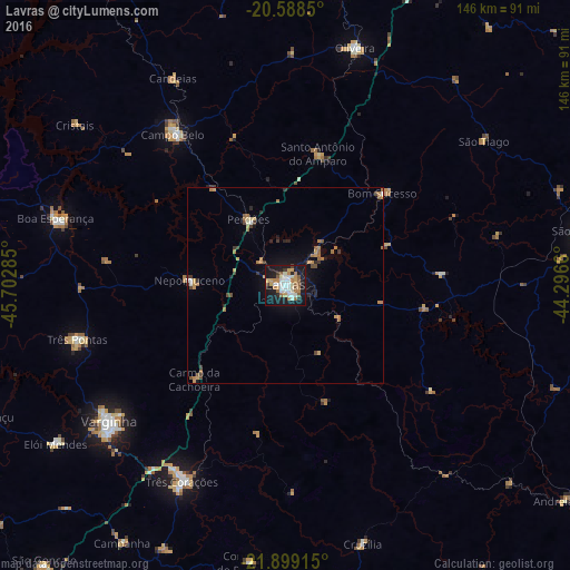
Analysis of Lavras night lights 2016
Square area 10x10 km:
 8.53%
8.53%90-99
10.52%80-89
2.18%70-79
9.13%60-69
6.75%50-59
7.54%40-49
0.79%30-39
2.18%20-29
5.95%10-19
43.45%0-9
2.98%Square area 50x50 km:
0.42%90-99
0.49%80-89
0.25%70-79
0.85%60-69
1.01%50-59
0.59%40-49
0.41%30-39
0.47%20-29
0.67%10-19
3.29%0-9
91.55%Clear (daylight) street map image can be seen on geolist.org.
Map coordinates:
20° 35' 18.6" South, 45° 42' 10.3" West
21° 14' 43" South, 44° 59' 59" West
21° 53' 56.9" South, 44° 17' 47.8" West
Some cities around Lavras sort by population:
• Varginha
56.1 km =34.9 mi,  232°
232°
• Três Corações
56.7 km =35.2 mi,  207°
207°
• Campo Belo
48.2 km =30 mi,  323°
323°
• Três Pontas
54.8 km =34.1 mi,  255°
255°
• Nepomuceno
24.4 km =15.2 mi,  273°
273°
• Perdões
19.6 km =12.2 mi,  331°
331°
• Santo Antônio do Amparo
34.3 km =21.3 mi,  14°
14°
• Bom Sucesso
34.4 km =21.4 mi,  46°
46°
3458696 (p: 81,472)
Sources (retrieved 2019-11-25):
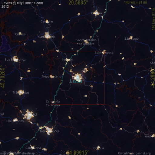
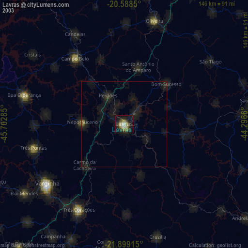
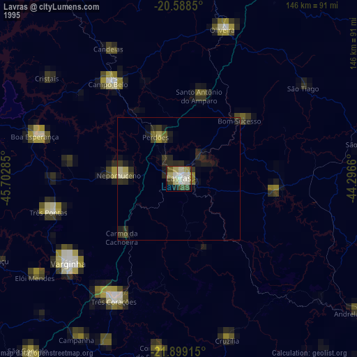
» NASA, Earths city lights 1995
» NASA city lights 2003
» Earth at Night: Flat Maps 2012, 2016