Campo Belo night lights from space
Night Light of Campo Belo (Minas Gerais) from space (Brazil) Src. Average luminocity for 10x10km area is 21.7877% and for 50x50km: 1.8421%.
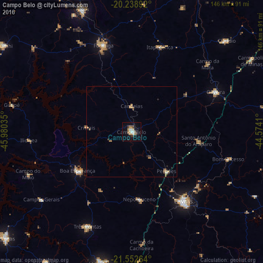
Analysis of Campo Belo night lights 2016
Square area 10x10 km:
 2.58%
2.58%90-99
3.37%80-89
2.78%70-79
3.97%60-69
3.77%50-59
0.99%40-49
3.17%30-39
2.58%20-29
2.18%10-19
11.31%0-9
63.29%Square area 50x50 km:
0.13%90-99
0.17%80-89
0.26%70-79
0.36%60-69
0.48%50-59
0.16%40-49
0.24%30-39
0.19%20-29
0.26%10-19
0.52%0-9
97.24%Clear (daylight) street map image can be seen on geolist.org.
Map coordinates:
20° 14' 20.1" South, 45° 58' 49.3" West
20° 53' 50" South, 45° 16' 38" West
21° 33' 9.5" South, 44° 34' 26.8" West
Some cities around Campo Belo sort by population:
• Lavras
48.2 km =30 mi,  143°
143°
• Formiga
50.6 km =31.4 mi,  342°
342°
• Oliveira
51.8 km =32.2 mi,  64°
64°
• Boa Esperança
36.8 km =22.9 mi,  234°
234°
• Nepomuceno
37.6 km =23.4 mi,  173°
173°
• Perdões
28.9 km =18 mi, 138°
• Santo Antônio do Amparo
37.6 km =23.4 mi,  98°
98°
• Itapecerica
49.8 km =30.9 mi,  18°
18°
3467796 (p: 47,491)
Sources (retrieved 2019-11-25):
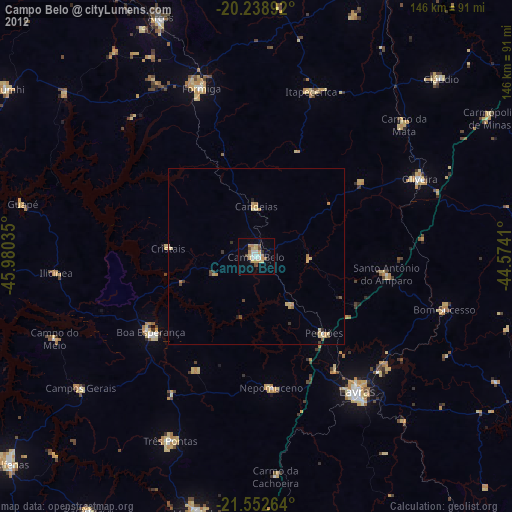
» Earth at Night: Flat Maps 2012, 2016