Oliveira night lights from space
Night Light of Oliveira (Minas Gerais) from space (Brazil) Src. Average luminocity for 10x10km area is 17.2917% and for 50x50km: 1.8634%.
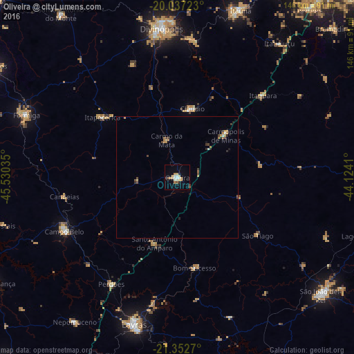
Analysis of Oliveira night lights 2016
Square area 10x10 km:
 2.27%
2.27%90-99
3.03%80-89
3.03%70-79
3.6%60-69
2.08%50-59
0.76%40-49
0.19%30-39
0.19%20-29
1.52%10-19
5.3%0-9
78.03%Square area 50x50 km:
0.13%90-99
0.19%80-89
0.22%70-79
0.49%60-69
0.25%50-59
0.12%40-49
0.34%30-39
0.19%20-29
0.29%10-19
0.38%0-9
97.4%Clear (daylight) street map image can be seen on geolist.org.
Map coordinates:
20° 2' 14" South, 45° 31' 49.3" West
20° 41' 47" South, 44° 49' 38" West
21° 21' 9.7" South, 44° 7' 26.8" West
Some cities around Oliveira sort by population:
• Divinópolis
61.8 km =38.4 mi,  353°
353°
• Campo Belo
51.8 km =32.2 mi,  244°
244°
• Cláudio
28.9 km =18 mi,  12°
12°
• Perdões
51.7 km =32.1 mi,  212°
212°
• Santo Antônio do Amparo
29.4 km =18.3 mi,  198°
198°
• Itapecerica
39.8 km =24.7 mi,  308°
308°
• Carmo do Cajuru
57.3 km =35.6 mi, 5°
• Bom Sucesso
38.1 km =23.7 mi,  169°
169°
3455908 (p: 34,710)
Sources (retrieved 2019-11-25):
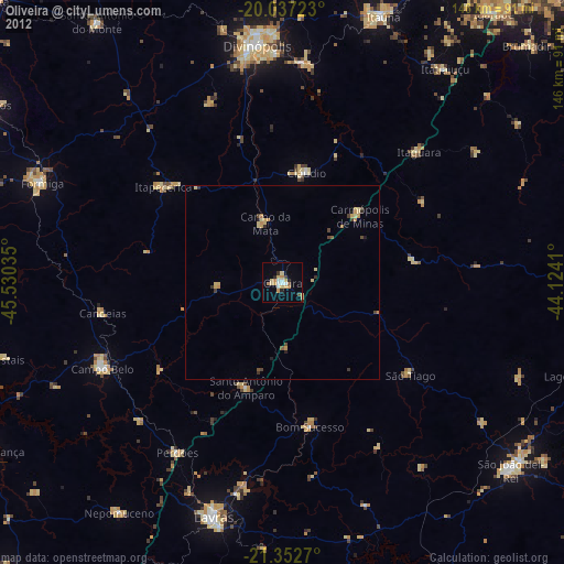
» Earth at Night: Flat Maps 2012, 2016