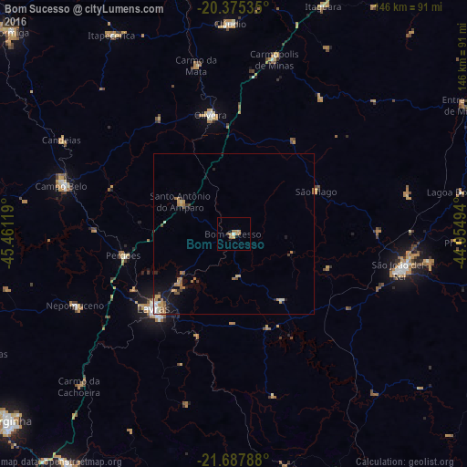
Bom Sucesso night lights from space
Night Light of Bom Sucesso (Minas Gerais) from space (Brazil) Src. Average luminocity for 10x10km area is 6.4802% and for 50x50km: 2.2662%.
Analysis of Bom Sucesso night lights 2016
Square area 10x10 km:
 0.6%
0.6%90-99
0.2%80-89
0.2%70-79
1.79%60-69
3.57%50-59
0.79%40-49
0.79%30-39
0%20-29
0%10-19
0%0-9
92.06%Square area 50x50 km:
0.14%90-99
0.22%80-89
0.23%70-79
0.46%60-69
0.7%50-59
0.34%40-49
0.23%30-39
0.15%20-29
0.31%10-19
1.4%0-9
95.82%Clear (daylight) street map image can be seen on geolist.org.
Map coordinates:
20° 22' 31.3" South, 45° 27' 40.3" West
21° 1' 59" South, 44° 45' 29" West
21° 41' 16.4" South, 44° 3' 17.8" West
Some cities around Bom Sucesso sort by population:
• Lavras
34.4 km =21.4 mi,  226°
226°
• São João del Rei
52.7 km =32.7 mi,  102°
102°
• Campo Belo
56 km =34.8 mi,  285°
285°
• Oliveira
38.1 km =23.7 mi,  349°
349°
• Cláudio
65.6 km =40.8 mi,  359°
359°
• Nepomuceno
54.2 km =33.7 mi,  245°
245°
• Perdões
35.2 km =21.9 mi,  259°
259°
• Santo Antônio do Amparo
19.3 km =12 mi,  299°
299°
3469374 (p: 13,786)
Sources (retrieved 2019-11-25):
» Earth at Night: Flat Maps 2012, 2016