Nepomuceno night lights from space
Night Light of Nepomuceno (Minas Gerais) from space (Brazil) Src. Average luminocity for 10x10km area is 8.6508% and for 50x50km: 2.7373%.
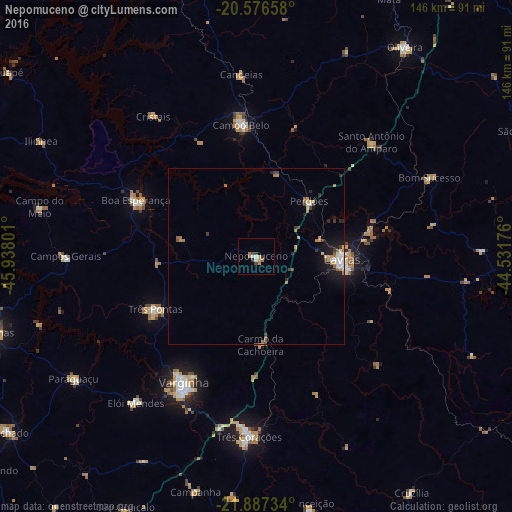
Analysis of Nepomuceno night lights 2016
Square area 10x10 km:
 1.39%
1.39%90-99
0.99%80-89
0%70-79
1.98%60-69
2.78%50-59
0%40-49
0.99%30-39
2.18%20-29
0.79%10-19
0%0-9
88.89%Square area 50x50 km:
0.32%90-99
0.32%80-89
0.15%70-79
0.51%60-69
0.61%50-59
0.25%40-49
0.29%30-39
0.47%20-29
0.46%10-19
1.64%0-9
94.98%Clear (daylight) street map image can be seen on geolist.org.
Map coordinates:
20° 34' 35.7" South, 45° 56' 16.8" West
21° 14' 0.3" South, 45° 14' 5.6" West
21° 53' 14.4" South, 44° 31' 54.3" West
Some cities around Nepomuceno sort by population:
• Varginha
40.7 km =25.3 mi,  209°
209°
• Lavras
24.4 km =15.2 mi,  93°
93°
• Três Corações
51.6 km =32.1 mi,  182°
182°
• Campo Belo
37.6 km =23.4 mi,  353°
353°
• Três Pontas
32.4 km =20.1 mi,  242°
242°
• Boa Esperança
37.8 km =23.5 mi,  294°
294°
• Perdões
21.7 km =13.5 mi,  43°
43°
• Santo Antônio do Amparo
45.8 km =28.5 mi,  45°
45°
3456324 (p: 18,911)
Sources (retrieved 2019-11-25):
» Earth at Night: Flat Maps 2012, 2016