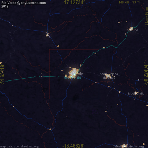
Rio Verde night lights from space
Night Light of Rio Verde (Goiás) from space (Brazil) Src. Average luminocity for 10x10km area is 68.8615% and for 50x50km: 4.1253%.

Analysis of Rio Verde night lights 2016
Square area 10x10 km:
 19.05%
90-99
15.8%80-89
3.68%70-79
18.61%60-69
10.82%50-59
2.81%40-49
8.01%30-39
5.63%20-29
9.31%10-19
5.84%0-9
0.43%Square area 50x50 km:
0.72%90-99
0.6%80-89
0.17%70-79
0.93%60-69
0.6%50-59
0.25%40-49
0.7%30-39
0.44%20-29
0.98%10-19
3.25%0-9
91.36%Clear (daylight) street map image can be seen on geolist.org.
Map coordinates:
17° 7' 38.4" South, 51° 37' 52.3" West
17° 47' 53" South, 50° 55' 41" West
18° 27' 58.5" South, 50° 13' 29.8" West
Some cities around Rio Verde sort by population:
• Jataí
84.5 km =52.5 mi,  263°
263°
• Santa Helena de Goiás
35.1 km =21.8 mi,  92°
92°
• Quirinópolis
88.1 km =54.7 mi,  145°
145°
• Santa Vitória
143.7 km =89.3 mi,  143°
143°
• Caiapônia
132.3 km =82.2 mi,  314°
314°
• Caçu
87 km =54.1 mi,  194°
194°
• Edéia
117.4 km =72.9 mi,  64°
64°
• Paraúna
107.4 km =66.7 mi,  28°
28°
3451055 (p: 229,651)
Sources (retrieved 2019-11-25):
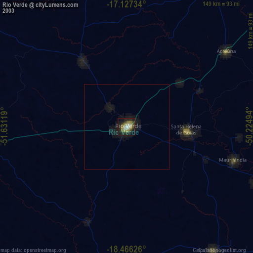
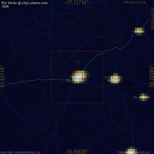
» NASA, Earths city lights 1995
» NASA city lights 2003
» Earth at Night: Flat Maps 2012, 2016