Imperatriz night lights from space
Night Light of Imperatriz (Maranhão) from space (Brazil) Src. Average luminocity for 10x10km area is 71.3079% and for 50x50km: 10.0135%.
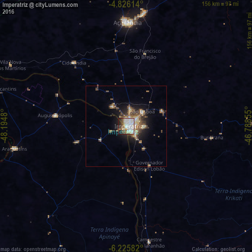
Analysis of Imperatriz night lights 2016
Square area 10x10 km:
 25%
25%90-99
23.97%80-89
6.82%70-79
2.07%60-69
2.69%50-59
11.16%40-49
6.2%30-39
3.1%20-29
10.74%10-19
8.26%0-9
0%Square area 50x50 km:
1.34%90-99
1.67%80-89
1.25%70-79
0.73%60-69
1.11%50-59
2.41%40-49
1.77%30-39
1.67%20-29
2.34%10-19
5.43%0-9
80.28%Clear (daylight) street map image can be seen on geolist.org.
Map coordinates:
4° 49' 34.1" South, 48° 11' 41.3" West
5° 31' 35" South, 47° 29' 30" West
6° 13' 33" South, 46° 47' 18.8" West
Some cities around Imperatriz sort by population:
• Marabá
182.3 km =113.3 mi,  275°
275°
• Araguaína
201.3 km =125.1 mi,  203°
203°
• Grajaú
153.2 km =95.2 mi,  102°
102°
• Carolina
201.2 km =125 mi,  179°
179°
• Porto Franco
90.9 km =56.5 mi,  173°
173°
• São Geraldo do Araguaia
152.6 km =94.8 mi,  230°
230°
• Bom Jardim
199.7 km =124.1 mi,  146°
146°
• Amarante do Maranhão
83.1 km =51.6 mi,  93°
93°
3398269 (p: 218,106)
Sources (retrieved 2019-11-25):
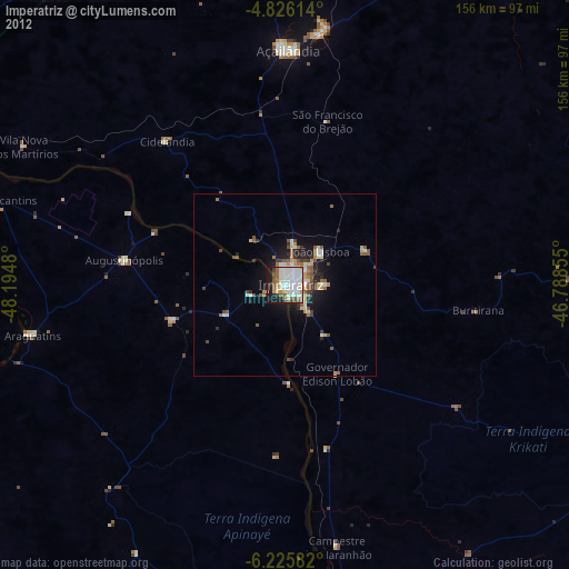
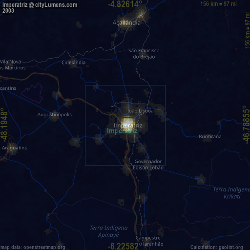
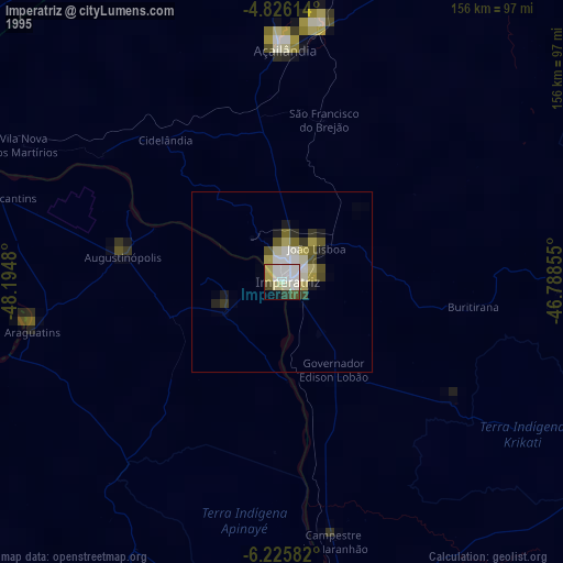
» NASA, Earths city lights 1995
» NASA city lights 2003
» Earth at Night: Flat Maps 2012, 2016