Pombal night lights from space
Night Light of Pombal (Paraíba) from space (Brazil) Src. Average luminocity for 10x10km area is 14.7597% and for 50x50km: 1.9197%.
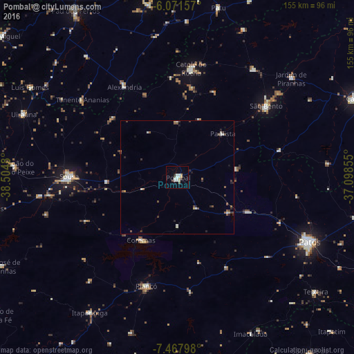
Analysis of Pombal night lights 2016
Square area 10x10 km:
 3.9%
3.9%90-99
3.03%80-89
1.73%70-79
1.73%60-69
0%50-59
0.87%40-49
1.52%30-39
1.08%20-29
0.65%10-19
1.08%0-9
84.42%Square area 50x50 km:
0.23%90-99
0.37%80-89
0.16%70-79
0.13%60-69
0.14%50-59
0.42%40-49
0.27%30-39
0.44%20-29
0.43%10-19
0.29%0-9
97.12%Clear (daylight) street map image can be seen on geolist.org.
Map coordinates:
6° 4' 17.7" South, 38° 30' 17.3" West
6° 46' 13" South, 37° 48' 6" West
7° 28' 4.7" South, 37° 5' 54.8" West
Some cities around Pombal sort by population:
• Sousa
47.1 km =29.3 mi,  271°
271°
• São Bento
54.4 km =33.8 mi,  6°
6°
• Catolé do Rocha
47.8 km =29.7 mi, 7°
• Coremas
31.5 km =19.6 mi,  210°
210°
• Piancó
49.6 km =30.8 mi,  196°
196°
• Alexandria
46.3 km =28.8 mi,  329°
329°
• Juàzeirinho
27.9 km =17.3 mi,  259°
259°
• Serra Branca
57.7 km =35.9 mi,  297°
297°
3391571 (p: 21,751)
Sources (retrieved 2019-11-25):
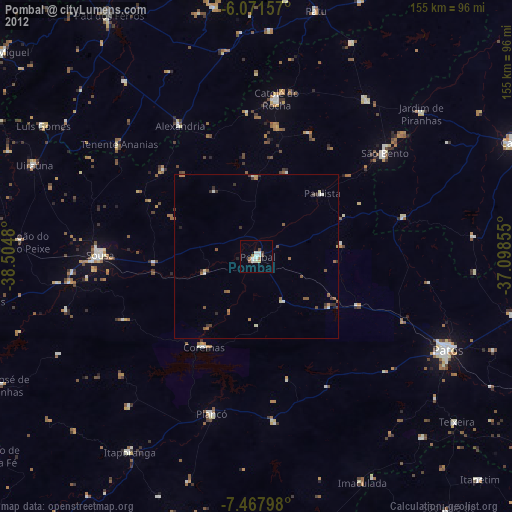
» Earth at Night: Flat Maps 2012, 2016