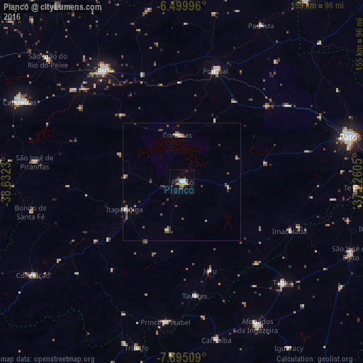
Piancó night lights from space
Night Light of Piancó (Paraíba) from space (Brazil) Src. Average luminocity for 10x10km area is 16.9242% and for 50x50km: 2.3748%.
Analysis of Piancó night lights 2016
Square area 10x10 km:
 1.52%
1.52%90-99
1.95%80-89
2.38%70-79
1.95%60-69
0.87%50-59
3.9%40-49
3.25%30-39
5.41%20-29
2.16%10-19
0.65%0-9
75.97%Square area 50x50 km:
0.19%90-99
0.33%80-89
0.22%70-79
0.19%60-69
0.26%50-59
0.56%40-49
0.57%30-39
0.79%20-29
0.2%10-19
0.17%0-9
96.51%Clear (daylight) street map image can be seen on geolist.org.
Map coordinates:
6° 29' 59.9" South, 38° 37' 56.3" West
7° 11' 53" South, 37° 55' 45" West
7° 53' 42.3" South, 37° 13' 33.8" West
Some cities around Piancó sort by population:
• Sousa
58.9 km =36.6 mi,  325°
325°
• Pombal
49.6 km =30.8 mi,  16°
16°
• Tabira
61.3 km =38.1 mi,  135°
135°
• Itaporanga
27.1 km =16.8 mi,  244°
244°
• Princesa Isabel
60.3 km =37.5 mi,  186°
186°
• Coremas
20.5 km =12.7 mi,  354°
354°
• Juàzeirinho
44.5 km =27.7 mi,  342°
342°
• São José de Piranhas
63.8 km =39.6 mi,  277°
277°
3392225 (p: 10,481)
Sources (retrieved 2019-11-25):
» Earth at Night: Flat Maps 2012, 2016