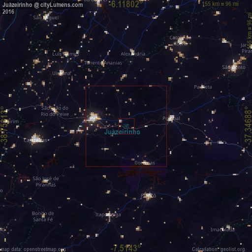
Juàzeirinho night lights from space
Night Light of Juàzeirinho (Paraíba) from space (Brazil) Src. Average luminocity for 10x10km area is 5.0887% and for 50x50km: 3.3295%.
Analysis of Juàzeirinho night lights 2016
Square area 10x10 km:
 0.65%
0.65%90-99
1.08%80-89
0.87%70-79
0.87%60-69
0%50-59
1.3%40-49
1.3%30-39
0%20-29
0%10-19
0.43%0-9
93.51%Square area 50x50 km:
0.34%90-99
0.55%80-89
0.31%70-79
0.36%60-69
0.27%50-59
0.4%40-49
0.75%30-39
0.64%20-29
0.43%10-19
2.96%0-9
92.98%Clear (daylight) street map image can be seen on geolist.org.
Map coordinates:
6° 7' 4.9" South, 38° 45' 11.3" West
6° 49' 0" South, 38° 3' 0" West
7° 30' 51.5" South, 37° 20' 48.8" West
Some cities around Juàzeirinho sort by population:
• Sousa
20.7 km =12.9 mi,  288°
288°
• Pombal
27.9 km =17.3 mi,  79°
79°
• Itaporanga
55.4 km =34.4 mi,  191°
191°
• Coremas
24.8 km =15.4 mi,  152°
152°
• Piancó
44.5 km =27.7 mi,  162°
162°
• Alexandria
45.1 km =28 mi,  4°
4°
• Serra Branca
39.6 km =24.6 mi,  322°
322°
• Uiraúna
52 km =32.3 mi,  309°
309°
3397175 (p: 8,846)
Sources (retrieved 2019-11-25):
» Earth at Night: Flat Maps 2012, 2016