Serra Branca night lights from space
Night Light of Serra Branca (Paraíba) from space (Brazil) Src. Average luminocity for 10x10km area is 4.026% and for 50x50km: 4.0739%.
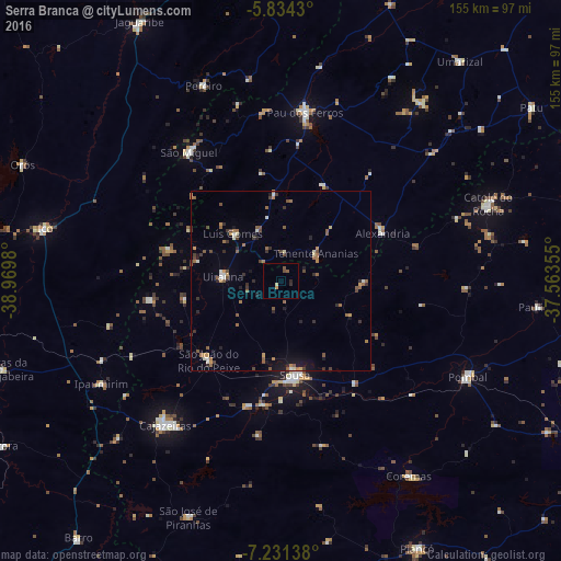
Analysis of Serra Branca night lights 2016
Square area 10x10 km:
 0%
0%90-99
0.22%80-89
0.65%70-79
0.87%60-69
0%50-59
1.73%40-49
0.87%30-39
0%20-29
1.73%10-19
0%0-9
93.94%Square area 50x50 km:
0.23%90-99
0.38%80-89
0.17%70-79
0.59%60-69
0.69%50-59
1.18%40-49
0.6%30-39
0.67%20-29
0.93%10-19
1.2%0-9
93.35%Clear (daylight) street map image can be seen on geolist.org.
Map coordinates:
5° 50' 3.5" South, 38° 58' 11.3" West
6° 31' 60" South, 38° 16' 0" West
7° 13' 53" South, 37° 33' 48.8" West
Some cities around Serra Branca sort by population:
• Sousa
25.5 km =15.8 mi,  170°
170°
• Cajazeiras
50.9 km =31.6 mi,  218°
218°
• São Bento
63.5 km =39.5 mi,  64°
64°
• Pombal
57.7 km =35.9 mi,  117°
117°
• Catolé do Rocha
61.2 km =38 mi,  69°
69°
• Alexandria
30.8 km =19.1 mi, 64°
• Juàzeirinho
39.6 km =24.6 mi,  142°
142°
• Uiraúna
16.2 km =10.1 mi,  275°
275°
3387880 (p: 8,765)
Sources (retrieved 2019-11-25):
» Earth at Night: Flat Maps 2012, 2016