Coremas night lights from space
Night Light of Coremas (Paraíba) from space (Brazil) Src. Average luminocity for 10x10km area is 9.5541% and for 50x50km: 2.3136%.
Analysis of Coremas night lights 2016
Square area 10x10 km:
 1.08%
1.08%90-99
0.65%80-89
1.73%70-79
1.73%60-69
0.87%50-59
1.52%40-49
2.16%30-39
2.38%20-29
0%10-19
1.3%0-9
86.58%Square area 50x50 km:
0.16%90-99
0.29%80-89
0.31%70-79
0.24%60-69
0.16%50-59
0.46%40-49
0.59%30-39
0.73%20-29
0.22%10-19
0.42%0-9
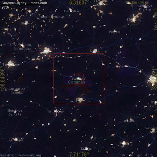
96.43%Clear (daylight) street map image can be seen on geolist.org.
Map coordinates:
6° 18' 57.9" South, 38° 38' 56.3" West
7° 0' 52" South, 37° 56' 45" West
7° 42' 42.3" South, 37° 14' 33.8" West
Some cities around Coremas sort by population:
• Sousa
42.1 km =26.2 mi,  312°
312°
• Pombal
31.5 km =19.6 mi,  30°
30°
• Itaporanga
39.4 km =24.5 mi,  214°
214°
• Piancó
20.5 km =12.7 mi,  174°
174°
• Alexandria
67.4 km =41.9 mi,  353°
353°
• Juàzeirinho
24.8 km =15.4 mi,  332°
332°
• Serra Branca
64.2 km =39.9 mi, 326°
• São José de Piranhas
62.5 km =38.8 mi,  259°
259°
3401725 (p: 11,897)
Sources (retrieved 2019-11-25):
» Earth at Night: Flat Maps 2012, 2016