São Bento night lights from space
Night Light of São Bento (Paraíba) from space (Brazil) Src. Average luminocity for 10x10km area is 5.3139% and for 50x50km: 4.195%.
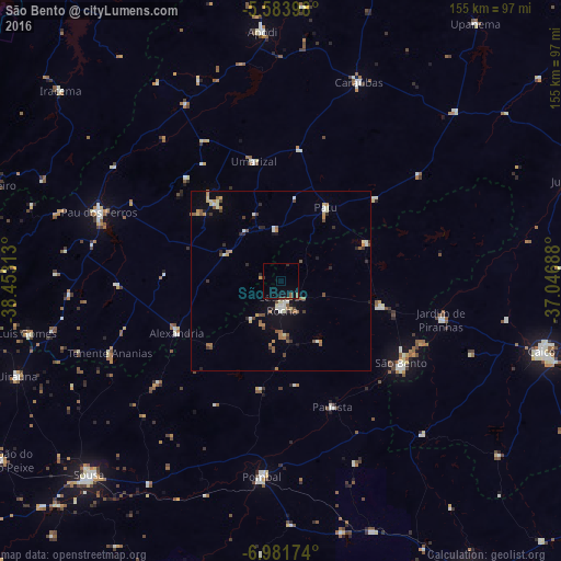
Analysis of São Bento night lights 2016
Square area 10x10 km:
 0%
0%90-99
0%80-89
0%70-79
0%60-69
0.65%50-59
2.38%40-49
0.87%30-39
0.65%20-29
1.52%10-19
3.68%0-9
90.26%Square area 50x50 km:
0.23%90-99
0.65%80-89
0.45%70-79
0.5%60-69
0.65%50-59
0.84%40-49
0.59%30-39
0.44%20-29
0.8%10-19
1.73%0-9
93.12%Clear (daylight) street map image can be seen on geolist.org.
Map coordinates:
5° 35' 2.3" South, 38° 27' 11.3" West
6° 16' 60" South, 37° 45' 0" West
6° 58' 54.3" South, 37° 2' 48.8" West
Some cities around São Bento sort by population:
• Pombal
54.4 km =33.8 mi,  186°
186°
• Catolé do Rocha
6.7 km =4.2 mi,  176°
176°
• Caraúbas
58.6 km =36.4 mi,  21°
21°
• Jardim de Piranhas
45.2 km =28.1 mi,  103°
103°
• Alexandria
32.7 km =20.3 mi,  243°
243°
• Patu
23 km =14.3 mi,  33°
33°
• Umarizal
33.3 km =20.7 mi,  347°
347°
• Belém do Brejo do Cruz
25.9 km =16.1 mi,  66°
66°
3388991 (p: 24,749)
Sources (retrieved 2019-11-25):
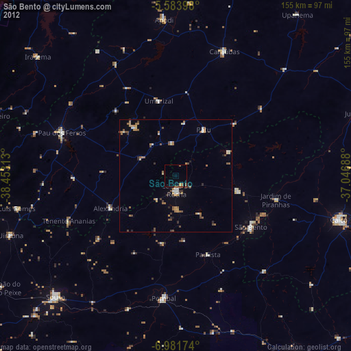
» Earth at Night: Flat Maps 2012, 2016