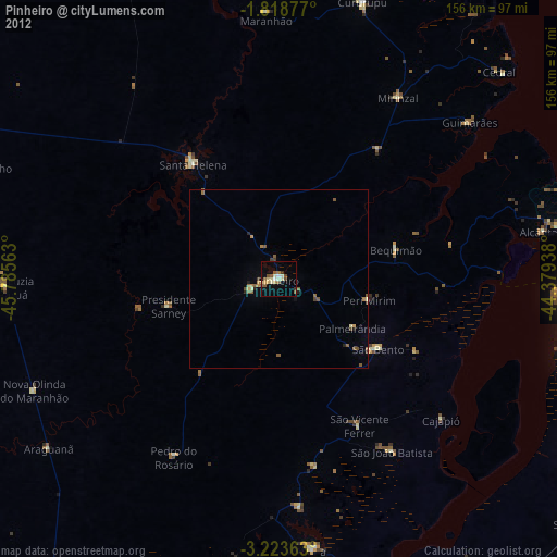
Pinheiro night lights from space
Night Light of Pinheiro (Maranhão) from space (Brazil) Src. Average luminocity for 10x10km area is 29.342% and for 50x50km: 2.6989%.
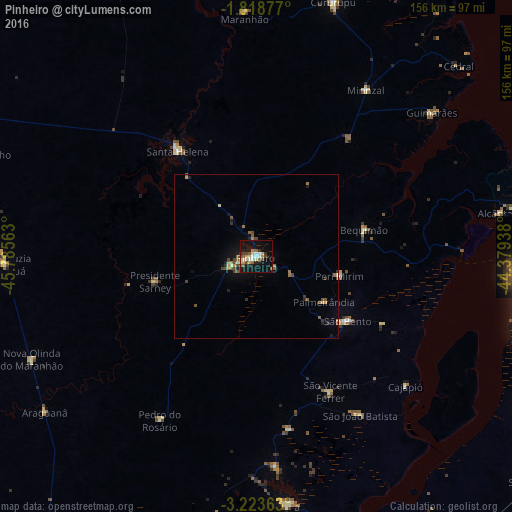
Analysis of Pinheiro night lights 2016
Square area 10x10 km:
 2.81%
2.81%90-99
3.46%80-89
7.36%70-79
3.25%60-69
1.73%50-59
4.55%40-49
4.76%30-39
3.46%20-29
3.46%10-19
37.66%0-9
27.49%Square area 50x50 km:
0.11%90-99
0.16%80-89
0.44%70-79
0.28%60-69
0.35%50-59
0.7%40-49
0.61%30-39
0.43%20-29
0.4%10-19
2.29%0-9
94.24%Clear (daylight) street map image can be seen on geolist.org.
Map coordinates:
1° 49' 7.6" South, 45° 47' 8.3" West
2° 31' 17" South, 45° 4' 57" West
3° 13' 25.1" South, 44° 22' 45.8" West
Some cities around Pinheiro sort by population:
• Viana
78.2 km =48.6 mi,  173°
173°
• Cururupu
80.7 km =50.1 mi,  17°
17°
• São Bento
34.9 km =21.7 mi,  123°
123°
• Penalva
86.5 km =53.7 mi,  186°
186°
• Santa Helena
40.3 km =25 mi,  323°
323°
• Matinha
64.6 km =40.1 mi,  175°
175°
• Bequimão
34.3 km =21.3 mi,  76°
76°
• Alcântara
75.1 km =46.7 mi, 80°
3392054 (p: 38,893)
Sources (retrieved 2019-11-25):
» Earth at Night: Flat Maps 2012, 2016