Viana night lights from space
Night Light of Viana (Maranhão) from space (Brazil) Src. Average luminocity for 10x10km area is 16.2792% and for 50x50km: 2.3058%.
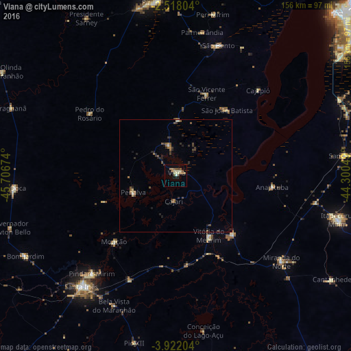
Analysis of Viana night lights 2016
Square area 10x10 km:
 0.43%
0.43%90-99
2.81%80-89
3.68%70-79
0.87%60-69
4.33%50-59
3.25%40-49
2.16%30-39
0.87%20-29
0.43%10-19
3.46%0-9
77.71%Square area 50x50 km:
0.03%90-99
0.17%80-89
0.31%70-79
0.1%60-69
0.51%50-59
0.49%40-49
0.52%30-39
0.48%20-29
0.7%10-19
0.48%0-9
96.21%Clear (daylight) street map image can be seen on geolist.org.
Map coordinates:
2° 31' 4.9" South, 45° 42' 24.3" West
3° 13' 13" South, 45° 0' 13" West
3° 55' 19.3" South, 44° 18' 1.8" West
Some cities around Viana sort by population:
• Pindaré Mirim
57.3 km =35.6 mi,  221°
221°
• São Bento
61.7 km =38.3 mi,  19°
19°
• Penalva
20.6 km =12.8 mi,  246°
246°
• Arari
35.9 km =22.3 mi,  136°
136°
• Vitória do Mearim
30.7 km =19.1 mi,  151°
151°
• Monção
40.8 km =25.4 mi, 222°
• Matinha
13.7 km =8.5 mi,  345°
345°
• Anajatuba
42.9 km =26.7 mi,  96°
96°
3385122 (p: 26,689)
Sources (retrieved 2019-11-25):
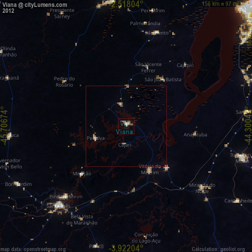
» Earth at Night: Flat Maps 2012, 2016