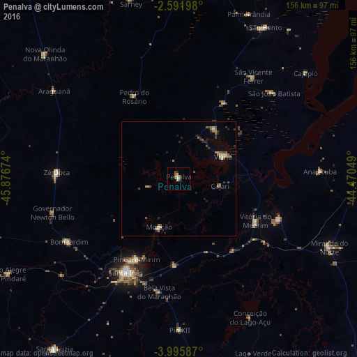
Penalva night lights from space
Night Light of Penalva (Maranhão) from space (Brazil) Src. Average luminocity for 10x10km area is 7.9567% and for 50x50km: 2.313%.
Analysis of Penalva night lights 2016
Square area 10x10 km:
 0.43%
0.43%90-99
0.43%80-89
2.6%70-79
0%60-69
1.73%50-59
1.73%40-49
2.6%30-39
0%20-29
0.87%10-19
0%0-9
89.61%Square area 50x50 km:
0.06%90-99
0.21%80-89
0.37%70-79
0.11%60-69
0.58%50-59
0.48%40-49
0.44%30-39
0.32%20-29
0.65%10-19
0.46%0-9
96.31%Clear (daylight) street map image can be seen on geolist.org.
Map coordinates:
2° 35' 31.1" South, 45° 52' 36.3" West
3° 17' 39" South, 45° 10' 25" West
3° 59' 45.1" South, 44° 28' 13.8" West
Some cities around Penalva sort by population:
• Santa Inês
47.3 km =29.4 mi,  208°
208°
• Viana
20.6 km =12.8 mi,  66°
66°
• Pindaré Mirim
39.7 km =24.7 mi, 208°
• Arari
47.1 km =29.3 mi,  112°
112°
• Vitória do Mearim
38.5 km =23.9 mi,  119°
119°
• Pio XII
59.9 km =37.2 mi,  177°
177°
• Monção
23.6 km =14.7 mi,  201°
201°
• Matinha
26.6 km =16.5 mi,  35°
35°
3392368 (p: 17,186)
Sources (retrieved 2019-11-25):
» Earth at Night: Flat Maps 2012, 2016