Santa Helena night lights from space
Night Light of Santa Helena (Maranhão) from space (Brazil) Src. Average luminocity for 10x10km area is 13.2576% and for 50x50km: 0.7873%.
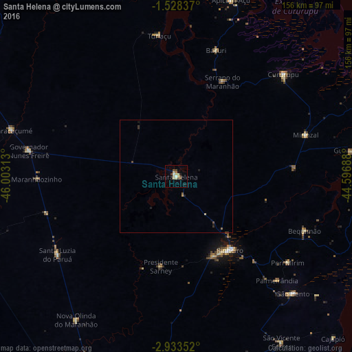
Analysis of Santa Helena night lights 2016
Square area 10x10 km:
 1.08%
1.08%90-99
1.3%80-89
5.41%70-79
0%60-69
0.87%50-59
2.38%40-49
1.95%30-39
0.87%20-29
1.73%10-19
0%0-9
84.42%Square area 50x50 km:
0.04%90-99
0.05%80-89
0.26%70-79
0.03%60-69
0.07%50-59
0.15%40-49
0.13%30-39
0.14%20-29
0.16%10-19
0.12%0-9
98.86%Clear (daylight) street map image can be seen on geolist.org.
Map coordinates:
1° 31' 42.1" South, 46° 0' 11.3" West
2° 13' 52" South, 45° 18' 0" West
2° 56' 0.7" South, 44° 35' 48.8" West
Some cities around Santa Helena sort by population:
• Pinheiro
40.3 km =25 mi,  143°
143°
• Cururupu
65.6 km =40.8 mi,  46°
46°
• São Bento
74.1 km =46 mi,  134°
134°
• Maracaçumé
76.2 km =47.3 mi,  285°
285°
• Turiaçu
63.6 km =39.5 mi,  352°
352°
• Cândido Mendes
98.8 km =61.4 mi,  332°
332°
• Bequimão
62.4 km =38.8 mi,  112°
112°
• Alcântara
100 km =62.1 mi,  101°
101°
3389622 (p: 16,045)
Sources (retrieved 2019-11-25):
» Earth at Night: Flat Maps 2012, 2016