Canutama night lights from space
Night Light of Canutama (Amazonas) from space (Brazil) Src. Average luminocity for 10x10km area is 3.6104% and for 50x50km: 0.1443%.
Analysis of Canutama night lights 2016
Square area 10x10 km:
 0%
0%90-99
0.22%80-89
1.52%70-79
0%60-69
1.52%50-59
0.22%40-49
1.08%30-39
0.65%20-29
0%10-19
0%0-9
94.81%Square area 50x50 km:
0%90-99
0.01%80-89
0.06%70-79
0%60-69
0.06%50-59
0.01%40-49
0.04%30-39
0.03%20-29
0%10-19
0%0-9
99.79%Clear (daylight) street map image can be seen on geolist.org.
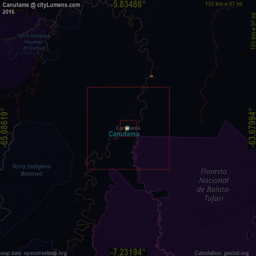
Map coordinates:
5° 50' 5.5" South, 65° 5' 10.3" West
6° 32' 2" South, 64° 22' 59" West
7° 13' 55" South, 63° 40' 47.8" West
Some cities around Canutama sort by population:
• Porto Velho
253.3 km =157.4 mi,  167°
167°
• Coari
305 km =189.5 mi,  26°
26°
• Tefé
353.9 km =219.9 mi,  353°
353°
• Humaitá
184.9 km =114.9 mi,  126°
126°
• Carauari
333.1 km =207 mi,  303°
303°
• Manicoré
350.2 km =217.6 mi,  76°
76°
• Pauini
314.8 km =195.6 mi,  245°
245°
• Alvarães
371.3 km =230.7 mi, 352°
3664716 (p: 6,320)
Sources (retrieved 2019-11-25):
» Earth at Night: Flat Maps 2012, 2016