Paracuru night lights from space
Night Light of Paracuru (Ceará) from space (Brazil) Src. Average luminocity for 10x10km area is 23.0173% and for 50x50km: 10.0466%.
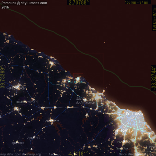
Analysis of Paracuru night lights 2016
Square area 10x10 km:
 1.52%
1.52%90-99
5.41%80-89
1.73%70-79
1.73%60-69
6.06%50-59
2.16%40-49
2.16%30-39
2.16%20-29
2.81%10-19
27.71%0-9
46.54%Square area 50x50 km:
0.5%90-99
1.57%80-89
1.23%70-79
0.94%60-69
1.51%50-59
1.94%40-49
1.91%30-39
2.16%20-29
2.75%10-19
6.77%0-9
78.71%Clear (daylight) street map image can be seen on geolist.org.
Map coordinates:
2° 42' 28.4" South, 39° 44' 1.3" West
3° 24' 36" South, 39° 1' 50" West
4° 6' 41.8" South, 38° 19' 38.8" West
Some cities around Paracuru sort by population:
• Caucaia
55.4 km =34.4 mi,  130°
130°
• São Gonçalo do Amarante
23 km =14.3 mi,  162°
162°
• Trairi
30.3 km =18.8 mi,  299°
299°
• Pentecoste
50.2 km =31.2 mi,  212°
212°
• Paraipaba
13.5 km =8.4 mi,  255°
255°
• Umirim
46.3 km =28.8 mi,  230°
230°
• Jardim
6.7 km =4.2 mi, 205°
• Cambebba
32.4 km =20.1 mi,  136°
136°
3393115 (p: 21,196)
Sources (retrieved 2019-11-25):
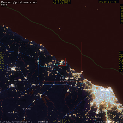
» Earth at Night: Flat Maps 2012, 2016