Caucaia night lights from space
Night Light of Caucaia (Ceará) from space (Brazil) Src. Average luminocity for 10x10km area is 90.6169% and for 50x50km: 40.6327%.
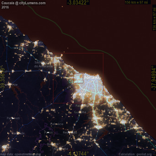
Analysis of Caucaia night lights 2016
Square area 10x10 km:
 28.35%
90-99
42.64%80-89
8.66%70-79
7.58%60-69
8.87%50-59
3.68%40-49
0.22%30-39
0%20-29
0%10-19
0%0-9
0%Square area 50x50 km:
13.85%90-99
10.62%80-89
3.75%70-79
3.39%60-69
3.71%50-59
4.57%40-49
3.61%30-39
3.1%20-29
6.29%10-19
8.6%0-9
38.51%Clear (daylight) street map image can be seen on geolist.org.
Map coordinates:
3° 2' 3.2" South, 39° 21' 22.3" West
3° 44' 10" South, 38° 39' 11" West
4° 26' 14.8" South, 37° 56' 59.8" West
Some cities around Caucaia sort by population:
• Fortaleza
12.4 km =7.7 mi,  80°
80°
• Maracanaú
15.9 km =9.9 mi,  168°
168°
• Aquiraz
34.4 km =21.4 mi,  122°
122°
• Pacatuba
27.8 km =17.3 mi, 172°
• Eusébio
28.2 km =17.5 mi,  127°
127°
• Itaitinga
29.4 km =18.3 mi,  151°
151°
• Guaiúba
33.8 km =21 mi,  177°
177°
• Cambebba
23.4 km =14.5 mi,  303°
303°
3402429 (p: 275,019)
Sources (retrieved 2019-11-25):
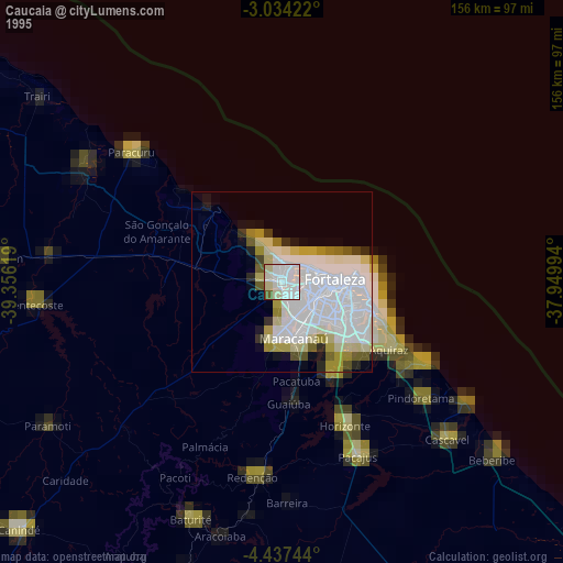
» NASA, Earths city lights 1995
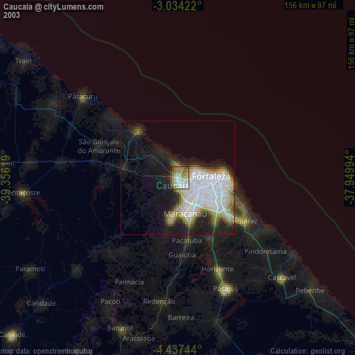
» NASA city lights 2003
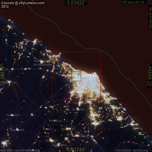
» Earth at Night: Flat Maps 2012, 2016