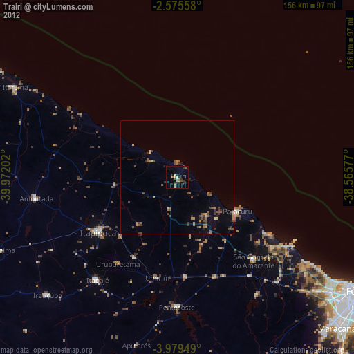
Trairi night lights from space
Night Light of Trairi (Ceará) from space (Brazil) Src. Average luminocity for 10x10km area is 23.8203% and for 50x50km: 4.3135%.
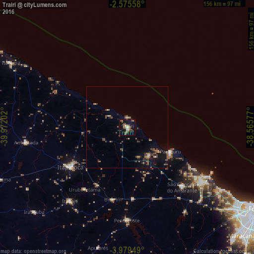
Analysis of Trairi night lights 2016
Square area 10x10 km:
 0.65%
0.65%90-99
3.68%80-89
1.95%70-79
3.25%60-69
1.3%50-59
8.66%40-49
6.71%30-39
1.52%20-29
3.68%10-19
19.91%0-9
48.7%Square area 50x50 km:
0.04%90-99
0.38%80-89
0.28%70-79
0.48%60-69
0.57%50-59
1.11%40-49
1.32%30-39
0.82%20-29
0.73%10-19
3.57%0-9
90.7%Clear (daylight) street map image can be seen on geolist.org.
Map coordinates:
2° 34' 32.1" South, 39° 58' 19.3" West
3° 16' 40" South, 39° 16' 8" West
3° 58' 46.2" South, 38° 33' 56.8" West
Some cities around Trairi sort by population:
• Itapipoca
42 km =26.1 mi,  234°
234°
• São Gonçalo do Amarante
49.5 km =30.8 mi,  137°
137°
• Paracuru
30.3 km =18.8 mi,  119°
119°
• Pentecoste
57.3 km =35.6 mi,  180°
180°
• Paraipaba
22.4 km =13.9 mi, 143°
• Umirim
45.3 km =28.1 mi,  191°
191°
• Uruburetama
46.9 km =29.1 mi,  214°
214°
• Jardim
31.4 km =19.5 mi,  131°
131°
3386177 (p: 23,126)
Sources (retrieved 2019-11-25):
» Earth at Night: Flat Maps 2012, 2016