São Gonçalo do Amarante night lights from space
Night Light of São Gonçalo do Amarante (Ceará) from space (Brazil) Src. Average luminocity for 10x10km area is 22.1558% and for 50x50km: 13.74%.
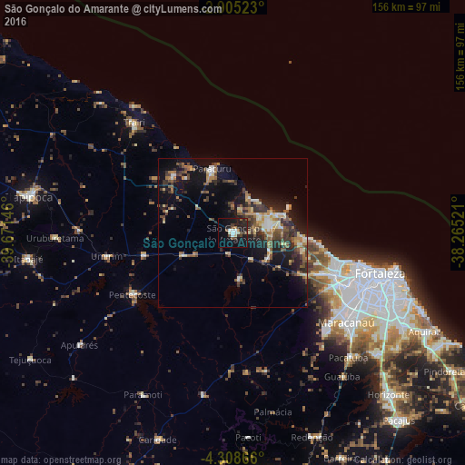
Analysis of São Gonçalo do Amarante night lights 2016
Square area 10x10 km:
 1.95%
1.95%90-99
4.76%80-89
1.08%70-79
0.43%60-69
1.73%50-59
4.76%40-49
2.81%30-39
3.46%20-29
9.96%10-19
27.06%0-9
41.99%Square area 50x50 km:
0.54%90-99
2.08%80-89
1.85%70-79
1.25%60-69
1.84%50-59
2.84%40-49
2.58%30-39
2.86%20-29
4.54%10-19
10.59%0-9
69.03%Clear (daylight) street map image can be seen on geolist.org.
Map coordinates:
2° 54' 18.8" South, 39° 40' 17.3" West
3° 36' 26" South, 38° 58' 6" West
4° 18' 31.2" South, 38° 15' 54.8" West
Some cities around São Gonçalo do Amarante sort by population:
• Caucaia
37.8 km =23.5 mi,  112°
112°
• Maracanaú
48.4 km =30.1 mi,  128°
128°
• Paracuru
23 km =14.3 mi,  342°
342°
• Pentecoste
39.3 km =24.4 mi,  238°
238°
• Paraipaba
27.3 km =17 mi,  313°
313°
• Umirim
43.1 km =26.8 mi,  259°
259°
• Jardim
18.7 km =11.6 mi,  328°
328°
• Cambebba
15.5 km =9.6 mi,  95°
95°
3388714 (p: 23,583)
Sources (retrieved 2019-11-25):
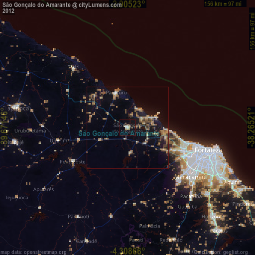
» Earth at Night: Flat Maps 2012, 2016