Simplício Mendes night lights from space
Night Light of Simplício Mendes (Piauí) from space (Brazil) Src. Average luminocity for 10x10km area is 4.2934% and for 50x50km: 0.3233%.
Analysis of Simplício Mendes night lights 2016
Square area 10x10 km:
 0.83%
0.83%90-99
0.83%80-89
0.83%70-79
0%60-69
0%50-59
0.83%40-49
0.83%30-39
1.24%20-29
0.41%10-19
0%0-9
94.21%Square area 50x50 km:
0.03%90-99
0.07%80-89
0.03%70-79
0%60-69
0.03%50-59
0.09%40-49
0.14%30-39
0.05%20-29
0.02%10-19
0%0-9
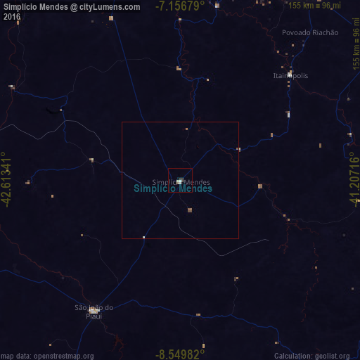
99.53%Clear (daylight) street map image can be seen on geolist.org.
Map coordinates:
7° 9' 24.4" South, 42° 36' 48.3" West
7° 51' 14" South, 41° 54' 37" West
8° 32' 59.4" South, 41° 12' 25.8" West
Some cities around Simplício Mendes sort by population:
• Picos
99.3 km =61.7 mi,  29°
29°
• Oeiras
95.3 km =59.2 mi,  345°
345°
• São Raimundo Nonato
155.6 km =96.7 mi,  213°
213°
• São João do Piauí
67.2 km =41.8 mi, 213°
• Canto do Buriti
117.4 km =72.9 mi,  255°
255°
• Jaicós
101.4 km =63 mi,  57°
57°
• Inhuma
133.7 km =83.1 mi,  9°
9°
• Itaueira
126 km =78.3 mi,  282°
282°
3387620 (p: 7,076)
Sources (retrieved 2019-11-25):
» Earth at Night: Flat Maps 2012, 2016