Novo Cruzeiro night lights from space
Night Light of Novo Cruzeiro (Minas Gerais) from space (Brazil) Src. Average luminocity for 10x10km area is 5.9256% and for 50x50km: 0.5152%.
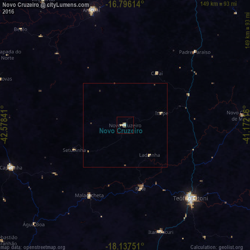
Analysis of Novo Cruzeiro night lights 2016
Square area 10x10 km:
 0.21%
0.21%90-99
1.45%80-89
2.48%70-79
0%60-69
0.21%50-59
1.45%40-49
0.62%30-39
0.21%20-29
0%10-19
0%0-9
93.39%Square area 50x50 km:
0.01%90-99
0.06%80-89
0.24%70-79
0.05%60-69
0.03%50-59
0.08%40-49
0.12%30-39
0.01%20-29
0.06%10-19
0%0-9
99.33%Clear (daylight) street map image can be seen on geolist.org.
Map coordinates:
16° 47' 46.1" South, 42° 34' 42.3" West
17° 28' 5" South, 41° 52' 31" West
18° 8' 15" South, 41° 10' 19.8" West
Some cities around Novo Cruzeiro sort by population:
• Teófilo Otoni
58.4 km =36.3 mi,  137°
137°
• Araçuaí
71.8 km =44.6 mi,  343°
343°
• Capelinha
72.3 km =44.9 mi,  249°
249°
• Itambacuri
65.8 km =40.9 mi,  162°
162°
• Padre Paraíso
60.3 km =37.5 mi,  43°
43°
• Malacacheta
46.8 km =29.1 mi,  207°
207°
• Minas Novas
80.8 km =50.2 mi,  290°
290°
• Caraí
36.5 km =22.7 mi,  31°
31°
3456070 (p: 10,385)
Sources (retrieved 2019-11-25):
» Earth at Night: Flat Maps 2012, 2016