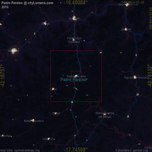
Padre Paraíso night lights from space
Night Light of Padre Paraíso (Minas Gerais) from space (Brazil) Src. Average luminocity for 10x10km area is 4.039% and for 50x50km: 0.4921%.
Analysis of Padre Paraíso night lights 2016
Square area 10x10 km:
 0.22%
0.22%90-99
0.65%80-89
0.87%70-79
0.87%60-69
0%50-59
0.87%40-49
1.73%30-39
0%20-29
0%10-19
0%0-9
94.81%Square area 50x50 km:
0.01%90-99
0.03%80-89
0.15%70-79
0.05%60-69
0.08%50-59
0.14%40-49
0.15%30-39
0.03%20-29
0.1%10-19
0.03%0-9
99.23%Clear (daylight) street map image can be seen on geolist.org.
Map coordinates:
16° 24' 3" South, 42° 11' 15.3" West
17° 4' 27" South, 41° 29' 4" West
17° 44' 42.3" South, 40° 46' 52.8" West
Some cities around Padre Paraíso sort by population:
• Teófilo Otoni
87.1 km =54.1 mi,  181°
181°
• Araçuaí
67.1 km =41.7 mi,  291°
291°
• Jequitinhonha
87.7 km =54.5 mi,  35°
35°
• Medina
94.7 km =58.8 mi,  0°
0°
• Águas Formosas
58.3 km =36.2 mi,  90°
90°
• Novo Cruzeiro
60.3 km =37.5 mi,  223°
223°
• Joaíma
67.2 km =41.8 mi,  45°
45°
• Caraí
25.7 km =16 mi,  240°
240°
3455568 (p: 10,608)
Sources (retrieved 2019-11-25):
» Earth at Night: Flat Maps 2012, 2016