Caraí night lights from space
Night Light of Caraí (Minas Gerais) from space (Brazil) Src. Average luminocity for 10x10km area is 2.8368% and for 50x50km: 0.5739%.
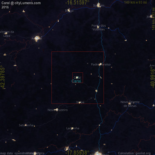
Analysis of Caraí night lights 2016
Square area 10x10 km:
 0%
0%90-99
0.21%80-89
1.86%70-79
0.41%60-69
0%50-59
0.83%40-49
0%30-39
0%20-29
0%10-19
0%0-9
96.69%Square area 50x50 km:
0.01%90-99
0.03%80-89
0.23%70-79
0.06%60-69
0.08%50-59
0.14%40-49
0.12%30-39
0.04%20-29
0.1%10-19
0.03%0-9
99.16%Clear (daylight) street map image can be seen on geolist.org.
Map coordinates:
16° 30' 57.5" South, 42° 23' 52.3" West
17° 11' 20" South, 41° 41' 41" West
17° 51' 33.8" South, 40° 59' 29.8" West
Some cities around Caraí sort by population:
• Teófilo Otoni
77 km =47.8 mi,  164°
164°
• Araçuaí
54.9 km =34.1 mi,  313°
313°
• Itambacuri
93.7 km =58.2 mi,  179°
179°
• Águas Formosas
81.5 km =50.6 mi,  81°
81°
• Padre Paraíso
25.7 km =16 mi,  60°
60°
• Novo Cruzeiro
36.5 km =22.7 mi,  211°
211°
• Joaíma
92.3 km =57.4 mi,  49°
49°
• Malacacheta
83.2 km =51.7 mi, 209°
3467078 (p: 6,750)
Sources (retrieved 2019-11-25):
» Earth at Night: Flat Maps 2012, 2016