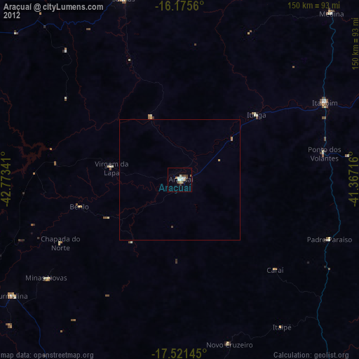
Araçuaí night lights from space
Night Light of Araçuaí (Minas Gerais) from space (Brazil) Src. Average luminocity for 10x10km area is 21.1234% and for 50x50km: 0.9985%.
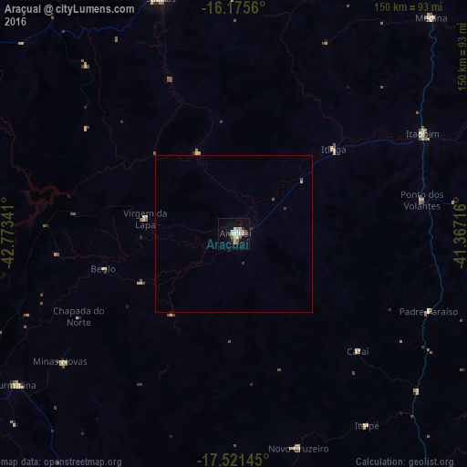
Analysis of Araçuaí night lights 2016
Square area 10x10 km:
 3.03%
3.03%90-99
3.03%80-89
5.19%70-79
3.46%60-69
0%50-59
1.73%40-49
3.46%30-39
2.6%20-29
0%10-19
10.61%0-9
66.88%Square area 50x50 km:
0.12%90-99
0.12%80-89
0.23%70-79
0.13%60-69
0%50-59
0.07%40-49
0.2%30-39
0.18%20-29
0.02%10-19
0.42%0-9
98.51%Clear (daylight) street map image can be seen on geolist.org.
Map coordinates:
16° 10' 32.2" South, 42° 46' 24.3" West
16° 50' 59" South, 42° 4' 13" West
17° 31' 17.2" South, 41° 22' 1.8" West
Some cities around Araçuaí sort by population:
• Salinas
79.1 km =49.2 mi,  342°
342°
• Capelinha
104.9 km =65.2 mi,  206°
206°
• Medina
94.1 km =58.5 mi,  42°
42°
• Padre Paraíso
67.1 km =41.7 mi,  111°
111°
• Novo Cruzeiro
71.8 km =44.6 mi,  163°
163°
• Turmalina
85.2 km =52.9 mi,  235°
235°
• Minas Novas
68.8 km =42.8 mi,  233°
233°
• Caraí
54.9 km =34.1 mi,  133°
133°
3471846 (p: 22,005)
Sources (retrieved 2019-11-25):
» Earth at Night: Flat Maps 2012, 2016