Teófilo Otoni night lights from space
Night Light of Teófilo Otoni (Minas Gerais) from space (Brazil) Src. Average luminocity for 10x10km area is 43.9264% and for 50x50km: 2.7756%.
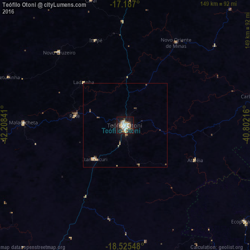
Analysis of Teófilo Otoni night lights 2016
Square area 10x10 km:
 7.14%
7.14%90-99
10.61%80-89
8.87%70-79
3.68%60-69
3.46%50-59
6.06%40-49
6.71%30-39
0.87%20-29
4.11%10-19
42.86%0-9
5.63%Square area 50x50 km:
0.3%90-99
0.43%80-89
0.51%70-79
0.24%60-69
0.36%50-59
0.37%40-49
0.48%30-39
0.12%20-29
0.3%10-19
2.5%0-9
94.38%Clear (daylight) street map image can be seen on geolist.org.
Map coordinates:
17° 11' 13.2" South, 42° 12' 30.3" West
17° 51' 27" South, 41° 30' 19" West
18° 31' 31.7" South, 40° 48' 7.8" West
Some cities around Teófilo Otoni sort by population:
• Itambacuri
27.1 km =16.8 mi,  224°
224°
• Ecoporanga
91.5 km =56.9 mi,  128°
128°
• Carlos Chagas
80.1 km =49.8 mi,  77°
77°
• Padre Paraíso
87.1 km =54.1 mi,  1°
1°
• Novo Cruzeiro
58.4 km =36.3 mi,  317°
317°
• Divino das Laranjeiras
102.4 km =63.6 mi,  178°
178°
• Malacacheta
60.5 km =37.6 mi,  271°
271°
• Caraí
77 km =47.8 mi,  344°
344°
3446621 (p: 101,170)
Sources (retrieved 2019-11-25):
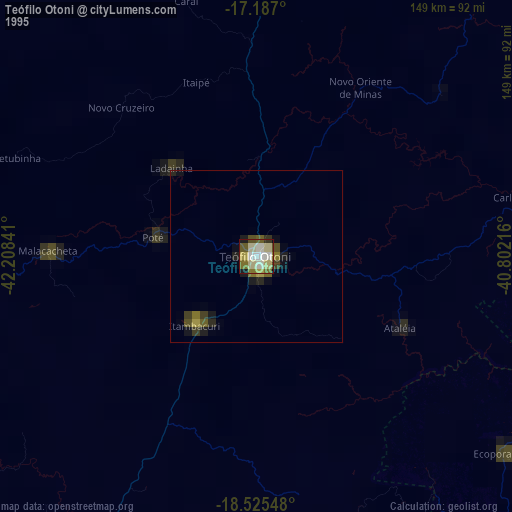
» NASA, Earths city lights 1995
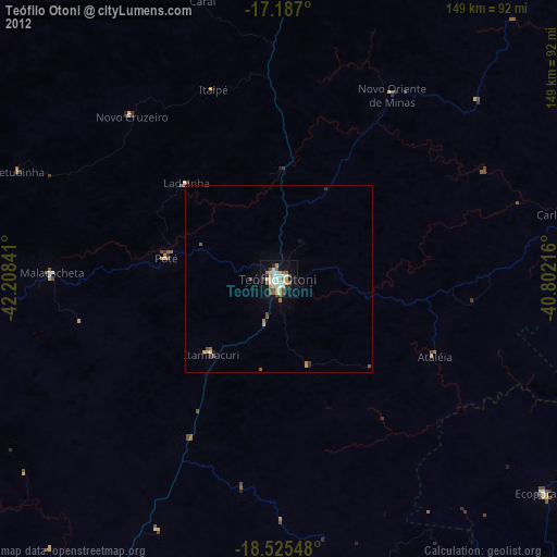
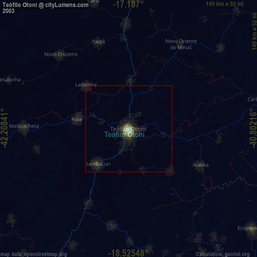
» NASA city lights 2003
» Earth at Night: Flat Maps 2012, 2016