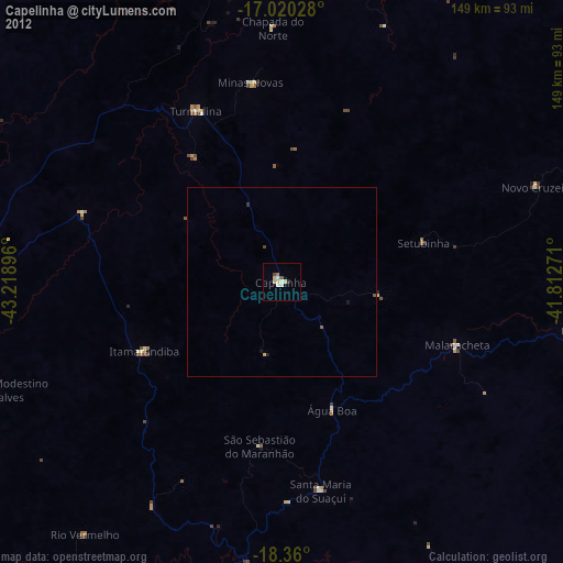
Capelinha night lights from space
Night Light of Capelinha (Minas Gerais) from space (Brazil) Src. Average luminocity for 10x10km area is 15.6012% and for 50x50km: 0.8627%.
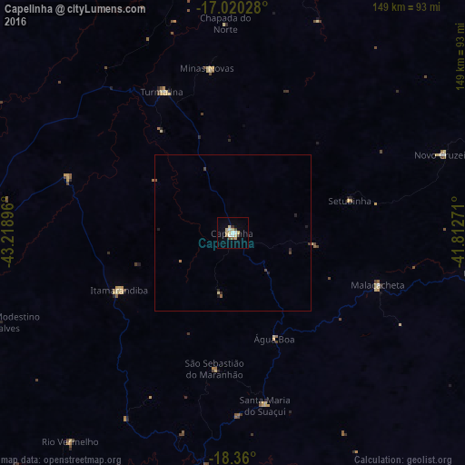
Analysis of Capelinha night lights 2016
Square area 10x10 km:
 2.69%
2.69%90-99
1.45%80-89
6.61%70-79
0%60-69
0.83%50-59
1.24%40-49
1.24%30-39
1.65%20-29
0%10-19
0.41%0-9
83.88%Square area 50x50 km:
0.11%90-99
0.06%80-89
0.29%70-79
0%60-69
0.06%50-59
0.11%40-49
0.15%30-39
0.1%20-29
0.18%10-19
0.1%0-9
98.85%Clear (daylight) street map image can be seen on geolist.org.
Map coordinates:
17° 1' 13" South, 43° 13' 8.3" West
17° 41' 29" South, 42° 30' 57" West
18° 21' 36" South, 41° 48' 45.8" West
Some cities around Capelinha sort by population:
• Itamarandiba
40.7 km =25.3 mi,  243°
243°
• Itambacuri
95.7 km =59.5 mi,  113°
113°
• Novo Cruzeiro
72.3 km =44.9 mi,  69°
69°
• Santa Maria do Suaçuí
56.5 km =35.1 mi,  169°
169°
• Malacacheta
49.4 km =30.7 mi, 109°
• Turmalina
50.5 km =31.4 mi,  333°
333°
• Minas Novas
53.2 km =33.1 mi,  351°
351°
• Peçanha
95.4 km =59.3 mi,  182°
182°
3467305 (p: 20,073)
Sources (retrieved 2019-11-25):
» Earth at Night: Flat Maps 2012, 2016