Autazes night lights from space
Night Light of Autazes (Amazonas) from space (Brazil) Src. Average luminocity for 10x10km area is 5.6364% and for 50x50km: 0.3352%.
Analysis of Autazes night lights 2016
Square area 10x10 km:
 0%
0%90-99
0.87%80-89
0.87%70-79
0.65%60-69
1.08%50-59
2.81%40-49
0.65%30-39
0.87%20-29
0%10-19
0%0-9
92.21%Square area 50x50 km:
0%90-99
0.04%80-89
0.06%70-79
0.03%60-69
0.1%50-59
0.13%40-49
0.03%30-39
0.06%20-29
0.03%10-19
0.03%0-9
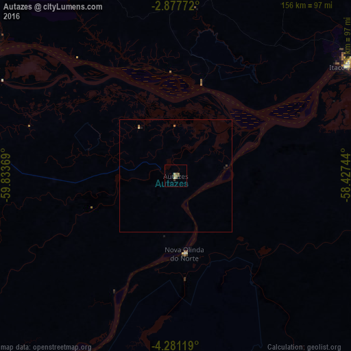
99.48%Clear (daylight) street map image can be seen on geolist.org.
Map coordinates:
2° 52' 39.8" South, 59° 50' 1.3" West
3° 34' 47" South, 59° 7' 50" West
4° 16' 52.3" South, 58° 25' 38.8" West
Some cities around Autazes sort by population:
• Manaus
112.6 km =70 mi,  298°
298°
• Itacoatiara
90.3 km =56.1 mi,  57°
57°
• Rio Preto da Eva
116.8 km =72.6 mi,  327°
327°
• Nova Olinda do Norte
34.9 km =21.7 mi,  173°
173°
• Borba
103.6 km =64.4 mi,  209°
209°
• Iranduba
121.7 km =75.6 mi,  285°
285°
• Urucurituba
119 km =73.9 mi,  65°
65°
• Careiro da Várzea
88.2 km =54.8 mi, 298°
3406948 (p: 9,614)
Sources (retrieved 2019-11-25):
» Earth at Night: Flat Maps 2012, 2016