Borba night lights from space
Night Light of Borba (Amazonas) from space (Brazil) Src. Average luminocity for 10x10km area is 5.4897% and for 50x50km: 0.2297%.
Analysis of Borba night lights 2016
Square area 10x10 km:
 0%
0%90-99
1.24%80-89
1.24%70-79
0.41%60-69
0.41%50-59
1.65%40-49
0.83%30-39
0.83%20-29
1.45%10-19
0.21%0-9
91.74%Square area 50x50 km:
0%90-99
0.05%80-89
0.05%70-79
0.02%60-69
0.02%50-59
0.07%40-49
0.03%30-39
0.03%20-29
0.06%10-19
0.01%0-9
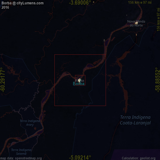
99.66%Clear (daylight) street map image can be seen on geolist.org.
Map coordinates:
3° 41' 24.2" South, 60° 17' 30.4" West
4° 23' 29.1" South, 59° 35' 19.1" West
5° 5' 31.7" South, 58° 53' 7.9" West
Some cities around Borba sort by population:
• Manaus
151.3 km =94 mi,  341°
341°
• Manacapuru
166.9 km =103.7 mi,  316°
316°
• Nova Olinda do Norte
78 km =48.5 mi,  44°
44°
• Iranduba
139.8 km =86.9 mi,  331°
331°
• Novo Aripuanã
119.4 km =74.2 mi,  227°
227°
• Manaquiri
146.3 km =90.9 mi, 324°
• Autazes
103.6 km =64.4 mi,  29°
29°
• Careiro da Várzea
135.4 km =84.1 mi,  348°
348°
3405051 (p: 11,918)
Sources (retrieved 2019-11-25):
» Earth at Night: Flat Maps 2012, 2016