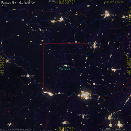
Pancas night lights from space
Night Light of Pancas (Espírito Santo) from space (Brazil) Src. Average luminocity for 10x10km area is 3.0325% and for 50x50km: 0.7322%.
Analysis of Pancas night lights 2016
Square area 10x10 km:
 0%
0%90-99
0%80-89
1.73%70-79
0%60-69
0.65%50-59
0.22%40-49
0.87%30-39
0%20-29
0.43%10-19
1.73%0-9
94.37%Square area 50x50 km:
0%90-99
0%80-89
0.26%70-79
0.13%60-69
0.06%50-59
0.1%40-49
0.29%30-39
0.1%20-29
0.07%10-19
0.17%0-9
98.83%Clear (daylight) street map image can be seen on geolist.org.
Map coordinates:
18° 33' 35.1" South, 41° 33' 16.3" West
19° 13' 30" South, 40° 51' 5" West
19° 53' 15.2" South, 40° 8' 53.8" West
Some cities around Pancas sort by population:
• Colatina
41.9 km =26 mi,  146°
146°
• Barra de São Francisco
52.4 km =32.6 mi,  355°
355°
• Baixo Guandu
37 km =23 mi,  207°
207°
• Aimorés
37.5 km =23.3 mi,  216°
216°
• Resplendor
43.8 km =27.2 mi,  255°
255°
• Conselheiro Pena
65.5 km =40.7 mi,  275°
275°
• Mantenópolis
49.4 km =30.7 mi,  324°
324°
• Itaguaçu
64.2 km =39.9 mi,  180°
180°
3455277 (p: 8,183)
Sources (retrieved 2019-11-25):
» Earth at Night: Flat Maps 2012, 2016