Anápolis night lights from space
Night Light of Anápolis (Goiás) from space (Brazil) Src. Average luminocity for 10x10km area is 84.1343% and for 50x50km: 9.2048%.
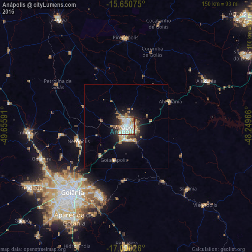
Analysis of Anápolis night lights 2016
Square area 10x10 km:
 27.48%
90-99
29.55%80-89
9.09%70-79
14.46%60-69
6.4%50-59
3.93%40-49
4.55%30-39
3.1%20-29
1.45%10-19
0%0-9
0%Square area 50x50 km:
1.4%90-99
1.55%80-89
0.78%70-79
2.29%60-69
1.07%50-59
0.83%40-49
1.35%30-39
0.79%20-29
2.08%10-19
4.86%0-9
82.99%Clear (daylight) street map image can be seen on geolist.org.
Map coordinates:
15° 39' 2.7" South, 49° 39' 21.3" West
16° 19' 36" South, 48° 57' 10" West
17° 0' 0.9" South, 48° 14' 58.8" West
Some cities around Anápolis sort by population:
• Goiânia
50.6 km =31.4 mi,  219°
219°
• Senador Canedo
45 km =28 mi,  199°
199°
• Nerópolis
29.7 km =18.5 mi,  252°
252°
• Pirenópolis
52.9 km =32.9 mi,  359°
359°
• Silvânia
52.1 km =32.4 mi,  135°
135°
• Goianápolis
21.8 km =13.5 mi, 200°
• Petrolina de Goiás
48.5 km =30.1 mi,  302°
302°
• Abadiânia
29.6 km =18.4 mi,  62°
62°
3472287 (p: 319,587)
Sources (retrieved 2019-11-25):
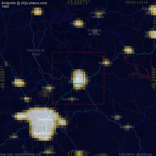
» NASA, Earths city lights 1995
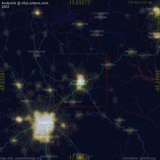
» NASA city lights 2003
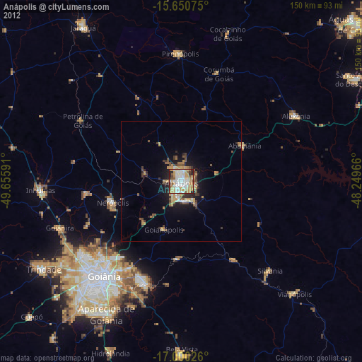
» Earth at Night: Flat Maps 2012, 2016