Três Pontas night lights from space
Night Light of Três Pontas (Minas Gerais) from space (Brazil) Src. Average luminocity for 10x10km area is 18.8769% and for 50x50km: 3.7114%.
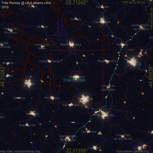
Analysis of Três Pontas night lights 2016
Square area 10x10 km:
 1.33%
1.33%90-99
1.7%80-89
4.17%70-79
3.79%60-69
4.36%50-59
2.08%40-49
2.27%30-39
0.76%20-29
0.76%10-19
6.25%0-9
72.54%Square area 50x50 km:
0.53%90-99
0.67%80-89
0.46%70-79
0.57%60-69
0.61%50-59
0.3%40-49
0.38%30-39
0.27%20-29
0.41%10-19
2.23%0-9
93.58%Clear (daylight) street map image can be seen on geolist.org.
Map coordinates:
20° 42' 37.5" South, 46° 12' 56.3" West
21° 22' 0" South, 45° 30' 45" West
22° 1' 12" South, 44° 48' 33.8" West
Some cities around Três Pontas sort by population:
• Varginha
22.2 km =13.8 mi,  157°
157°
• Alfenas
45.5 km =28.3 mi,  261°
261°
• Boa Esperança
31.3 km =19.4 mi,  349°
349°
• Campos Gerais
29.4 km =18.3 mi,  299°
299°
• Elói Mendes
27.6 km =17.1 mi,  191°
191°
• Nepomuceno
32.4 km =20.1 mi,  62°
62°
• Perdões
53.3 km =33.1 mi,  54°
54°
• Paraguaçu
30.7 km =19.1 mi,  229°
229°
3446077 (p: 43,749)
Sources (retrieved 2019-11-25):
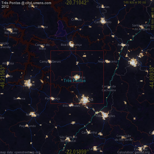
» Earth at Night: Flat Maps 2012, 2016