Boa Esperança night lights from space
Night Light of Boa Esperança (Minas Gerais) from space (Brazil) Src. Average luminocity for 10x10km area is 19.621% and for 50x50km: 1.5868%.
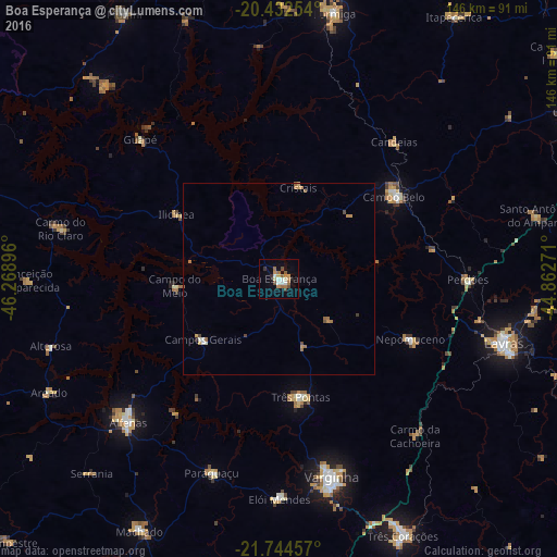
Analysis of Boa Esperança night lights 2016
Square area 10x10 km:
 2.78%
2.78%90-99
2.58%80-89
1.39%70-79
3.77%60-69
4.76%50-59
1.59%40-49
2.18%30-39
1.79%20-29
1.59%10-19
6.35%0-9
71.23%Square area 50x50 km:
0.14%90-99
0.21%80-89
0.08%70-79
0.34%60-69
0.46%50-59
0.2%40-49
0.24%30-39
0.1%20-29
0.1%10-19
0.26%0-9
97.88%Clear (daylight) street map image can be seen on geolist.org.
Map coordinates:
20° 25' 57.1" South, 46° 16' 8.3" West
21° 5' 24" South, 45° 33' 57" West
21° 44' 40.5" South, 44° 51' 45.8" West
Some cities around Boa Esperança sort by population:
• Varginha
53.2 km =33.1 mi,  164°
164°
• Alfenas
54.6 km =33.9 mi,  226°
226°
• Campo Belo
36.8 km =22.9 mi,  54°
54°
• Três Pontas
31.3 km =19.4 mi,  169°
169°
• Campos Gerais
25.7 km =16 mi, 231°
• Nepomuceno
37.8 km =23.5 mi,  114°
114°
• Perdões
49.2 km =30.6 mi,  90°
90°
• Paraguaçu
53.9 km =33.5 mi,  199°
199°
3469932 (p: 33,840)
Sources (retrieved 2019-11-25):
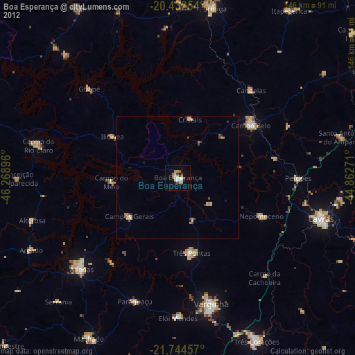
» Earth at Night: Flat Maps 2012, 2016