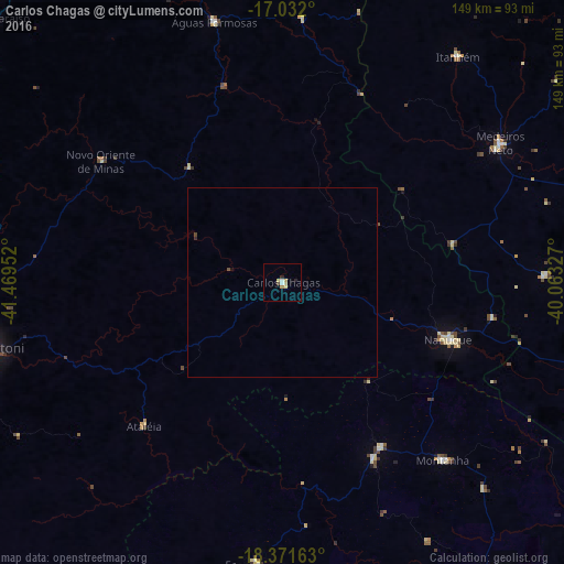
Carlos Chagas night lights from space
Night Light of Carlos Chagas (Minas Gerais) from space (Brazil) Src. Average luminocity for 10x10km area is 6.7045% and for 50x50km: 0.3159%.
Analysis of Carlos Chagas night lights 2016
Square area 10x10 km:
 0.41%
0.41%90-99
1.24%80-89
2.48%70-79
1.03%60-69
0.62%50-59
0%40-49
0.83%30-39
0%20-29
1.65%10-19
0%0-9
91.74%Square area 50x50 km:
0.02%90-99
0.05%80-89
0.1%70-79
0.04%60-69
0.02%50-59
0%40-49
0.1%30-39
0%20-29
0.1%10-19
0.03%0-9
99.55%Clear (daylight) street map image can be seen on geolist.org.
Map coordinates:
17° 1' 55.2" South, 41° 28' 10.3" West
17° 42' 11" South, 40° 45' 59" West
18° 22' 17.9" South, 40° 3' 47.8" West
Some cities around Carlos Chagas sort by population:
• Teófilo Otoni
80.1 km =49.8 mi,  257°
257°
• Nanuque
46.2 km =28.7 mi,  109°
109°
• Medeiros Neto
68.5 km =42.6 mi,  57°
57°
• Ecoporanga
74.8 km =46.5 mi,  185°
185°
• Itanhém
75.5 km =46.9 mi,  37°
37°
• Montanha
63.6 km =39.5 mi,  137°
137°
• Águas Formosas
71.3 km =44.3 mi,  345°
345°
• Mucurici
50.9 km =31.6 mi,  148°
148°
3466931 (p: 13,206)
Sources (retrieved 2019-11-25):
» Earth at Night: Flat Maps 2012, 2016