Maringá night lights from space
Night Light of Maringá (Paraná) from space (Brazil) Src. Average luminocity for 10x10km area is 94.0568% and for 50x50km: 15.6813%.
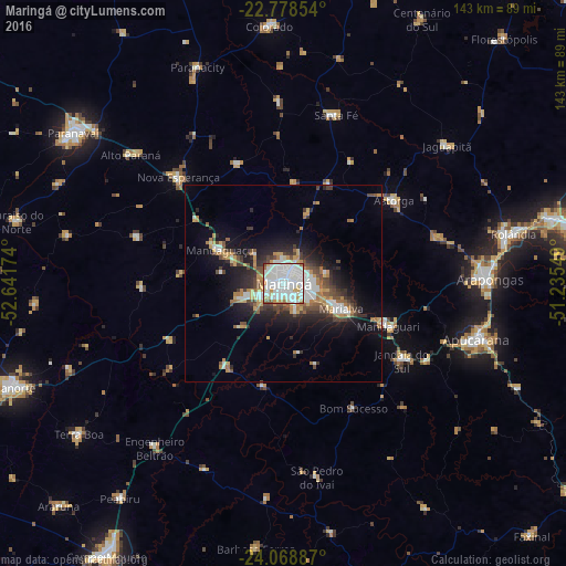
Analysis of Maringá night lights 2016
Square area 10x10 km:
 43.94%
90-99
39.02%80-89
5.49%70-79
4.73%60-69
3.41%50-59
2.08%40-49
1.33%30-39
0%20-29
0%10-19
0%0-9
0%Square area 50x50 km:
3.2%90-99
2.93%80-89
0.99%70-79
2.3%60-69
2.16%50-59
1.33%40-49
2.57%30-39
1.93%20-29
3.81%10-19
8.71%0-9
70.08%Clear (daylight) street map image can be seen on geolist.org.
Map coordinates:
22° 46' 42.7" South, 52° 38' 30.3" West
23° 25' 31" South, 51° 56' 19" West
24° 4' 7.9" South, 51° 14' 7.8" West
Some cities around Maringá sort by population:
• Apucarana
50.7 km =31.5 mi,  105°
105°
• Sarandi
6.9 km =4.3 mi, 107°
• Mandaguari
30.5 km =19 mi,  116°
116°
• Paiçandu
11.8 km =7.3 mi,  252°
252°
• Marialva
16.4 km =10.2 mi, 113°
• Astorga
35.2 km =21.9 mi,  52°
52°
• Jandaia do Sul
36 km =22.4 mi, 123°
• Mandaguaçu
18.2 km =11.3 mi,  298°
298°
3457671 (p: 311,724)
Sources (retrieved 2019-11-25):
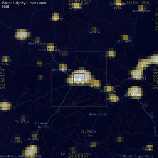
» NASA, Earths city lights 1995
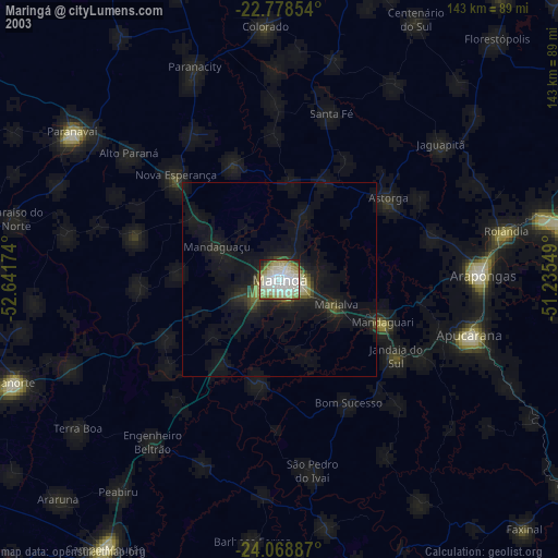
» NASA city lights 2003
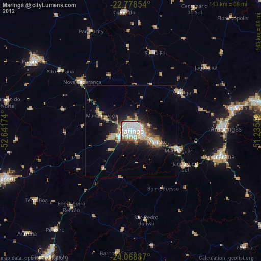
» Earth at Night: Flat Maps 2012, 2016