Apucarana night lights from space
Night Light of Apucarana (Paraná) from space (Brazil) Src. Average luminocity for 10x10km area is 53.2401% and for 50x50km: 10.3618%.
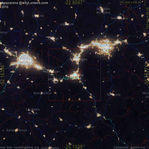
Analysis of Apucarana night lights 2016
Square area 10x10 km:
 8.33%
8.33%90-99
8.73%80-89
7.74%70-79
11.31%60-69
12.3%50-59
7.14%40-49
4.37%30-39
4.96%20-29
12.5%10-19
20.63%0-9
1.98%Square area 50x50 km:
1.12%90-99
1.17%80-89
1.02%70-79
1.91%60-69
1.71%50-59
1.07%40-49
1.08%30-39
1.54%20-29
3.1%10-19
9.87%0-9
76.41%Clear (daylight) street map image can be seen on geolist.org.
Map coordinates:
22° 54' 16.9" South, 52° 9' 50.3" West
23° 33' 3" South, 51° 27' 39" West
24° 11' 37.7" South, 50° 45' 27.8" West
Some cities around Apucarana sort by population:
• Londrina
40.5 km =25.2 mi,  48°
48°
• Arapongas
15.1 km =9.4 mi,  14°
14°
• Cambé
35.8 km =22.2 mi,  31°
31°
• Rolândia
28.4 km =17.6 mi,  19°
19°
• Mandaguari
21.4 km =13.3 mi,  270°
270°
• Marialva
34.5 km =21.4 mi,  282°
282°
• Astorga
41.1 km =25.5 mi,  329°
329°
• Jandaia do Sul
19.5 km =12.1 mi,  252°
252°
3471910 (p: 107,085)
Sources (retrieved 2019-11-25):
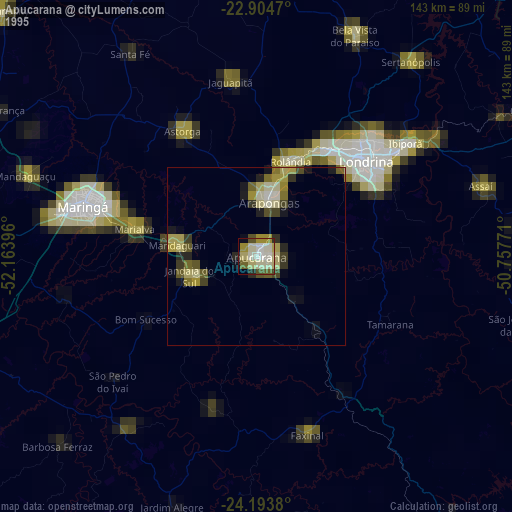
» NASA, Earths city lights 1995
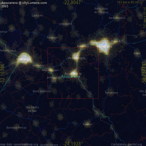
» NASA city lights 2003
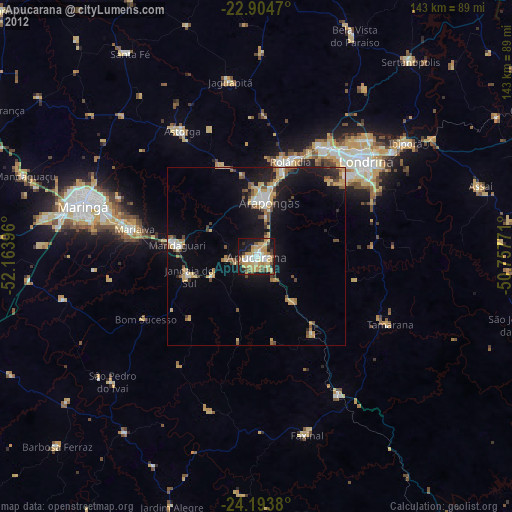
» Earth at Night: Flat Maps 2012, 2016